Free Camping Collection
Dispersed Camping
Bill Moore Lake dispersed
About
USDA Forest Service
Arapaho and Roosevelt National Forests and Pawnee National Grassland
The Bill Moore/North Empire Loop is a network of roads for OHV opportunities located north of Empire.
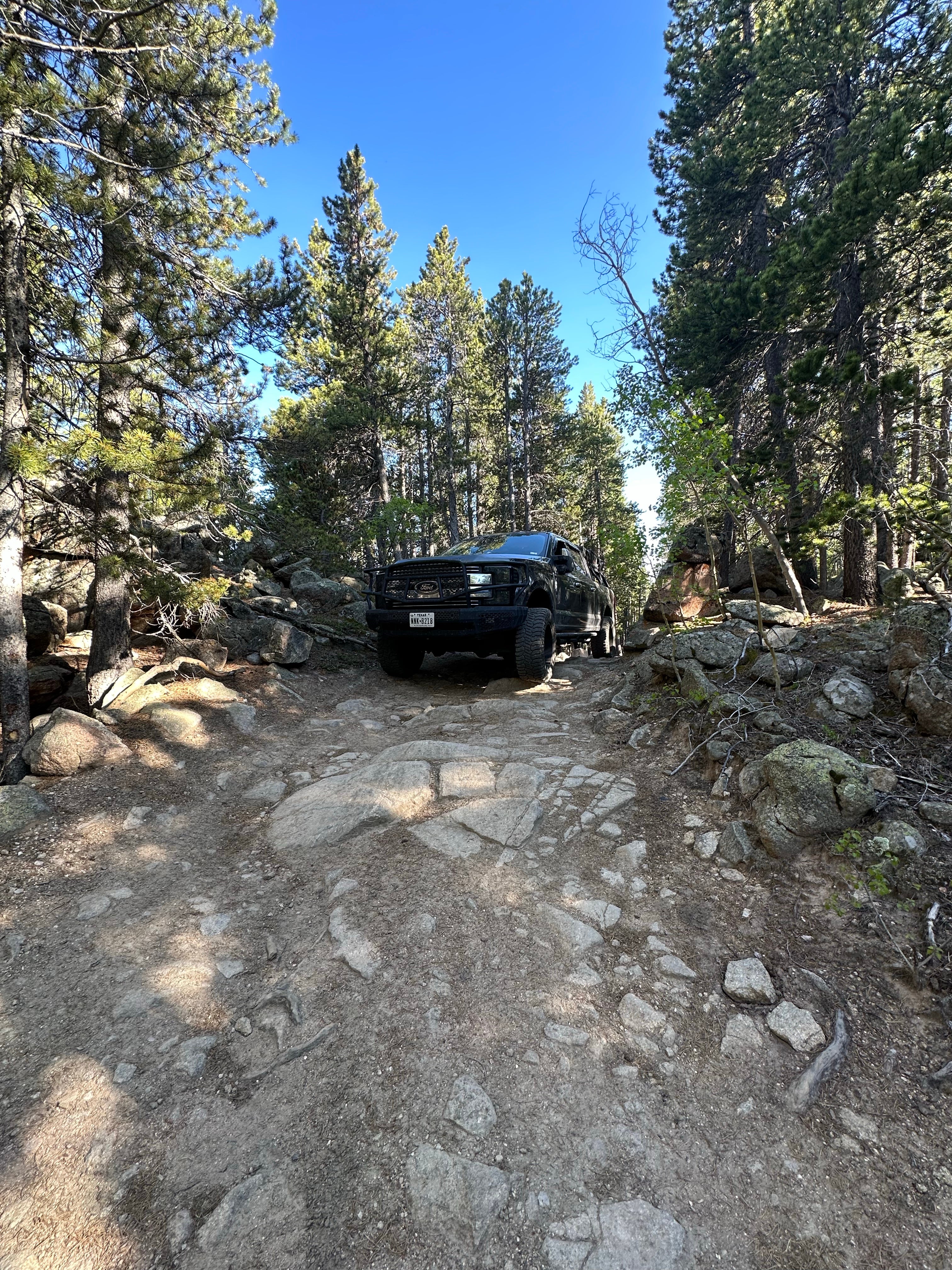
This road is very rocky and steep, especially to Bill Moore Lake. A 4-wheel drive, high-clearance vehicle is highly recommended.
Refer to the Clear Creek Ranger District's Motor Vehicle Use Map for more information about OHV opportunities in the area.
Note: Due to high elevation, the area is not generally snow-free until late June or even July in some years. Best late spring through fall.
Location
Bill Moore Lake dispersed is located in Colorado
Directions
I-70 westbound, take exit #232 US Hwy 40 to Empire. Turn right on Main St. (North Empire Road) and follow the County Road on to Forest Road 171.2.
Coordinates
39.80337070388236 N
105.7103958075306 W
Access
- Drive-InPark next to your site
- Walk-InPark in a lot, walk to your site.
Stay Connected
- WiFiAvailable
- VerizonUnknown
- AT&TUnknown
- T-MobileUnknown
Site Types
- Tent Sites
- Dispersed
- Group
Features
For Campers
- Alcohol
- Pets
- Fires

