Established Camping
Texas Flats
About
USDA Forest Service
Sierra National Forest
Overview
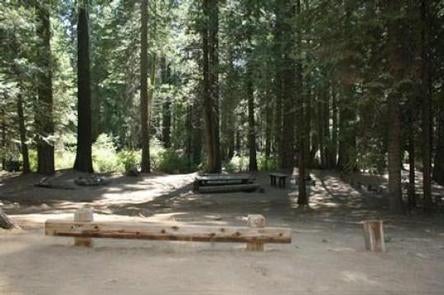
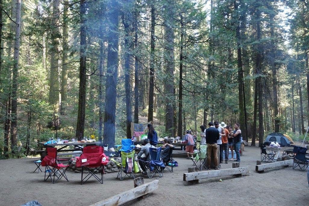
Texas Flats Campground remains closed due to hazard trees. Texas Flats Campground is a horse-friendly group camp situated on the banks of McGilvery Creek. It is split into 4 sections named manzanita, red fir, white fir and cedar.
Recreation
Nearby logging and forest roads can be used as equestrian trails. The Shadow of the Giants, a popular 1-mile hike through a grove of giant sequoias, is just a short drive northwest of the campground.
Facilities
Nearby logging and forest roads can be used as equestrian trails. The Shadow of the Giants, a popular 1-mile hike through a grove of giant sequoias, is just a short drive northwest of the campground.
Natural Features
The Sierra National Forest, located on the western slope of the central Sierra Nevada, is known for its spectacular mountain scenery and abundant natural resources. The terrain includes rolling, oak-covered foothills, heavily forested middle elevation slopes and the starkly beautiful alpine landscape of the High Sierra. Texas Flat Campground is located in the Highway 41 Corridor of the Bass Lake Ranger District. This area is known for the Nelder Grove of giant sequoias.
Nearby Attractions
Yosemite National Park is a popular day trip. Visitors can also take a ride on the historic logging train at Yosemite Mountain Sugar Pine Railroad. The Sierra Vista Scenic Byway (Sky Ranch Road), an 83-mile drive past some of the highlights of Sierra National Forest, runs nearby.
Location
Texas Flats is located in California
Directions
Take Highway 41 north through Oakhurst past Rd. 222 (aka Bass Lake turn off), to Road 632 (aka Sky Ranch Road). Turn right, travel 7 miles, and turn right on FS6S40 towards Soquel Campground. Travel for 1 mile, turn left on 6S08, cross the bridge and continue left through Greys Mt. Campground. Travel for 1 mile, turn left on 6S38, and continue for 2 miles to Texas Flat Campground. (Distances approximate).
Coordinates
37.425452 N
119.544476 W
Access
- Drive-InPark next to your site
- Walk-InPark in a lot, walk to your site.
- Boat-InSites accessible by watercraft.
Stay Connected
- WiFiUnknown
- VerizonUnknown
- AT&TUnknown
- T-MobileUnknown
Site Types
- Tent Sites
- RV Sites
- Standard (Tent/RV)
- Group
Features
For Campers
- Trash
- Picnic Table
- Firewood Available
- Phone Service
- Drinking Water
- Toilets
- Alcohol
- Fires
For Vehicles
- Sanitary Dump


