Established Camping
Lone Rock Campground
Warning 1 Alert is In Effect
There is 1 alert for this campground. Camp safely!
Warning 1 Alert is In Effect
There is 1 alert for this campground. Camp safely!
Antelope Lake Road from the west side of the lake above Taylorsville is currently closed to the public on weekdays from 7:00 am Monday through 5:00 pm on Friday. The road is open to the public on weekends between Friday at 5:00 pm and Monday at 7:00 am. An alternate route is available to the lake. A Forest Service visitor map is recommended. Directions: From Greenville, take County Road 112 (Main Street) east until it turns into Diamond Mountain Road (County Road 213). Stay on County Road 213 until it turns into Forest Service Road 28N03. Follow Forest Service Road 28N03 through Lone Rock Valley until you reach the lake. Trailers: The alternate route includes gravel and dirt roads and is not recommended for trailers. Visitors with large trailers should arrive from the east side of the lake out of Janesville.
About
USDA Forest Service
Plumas National Forest
Overview
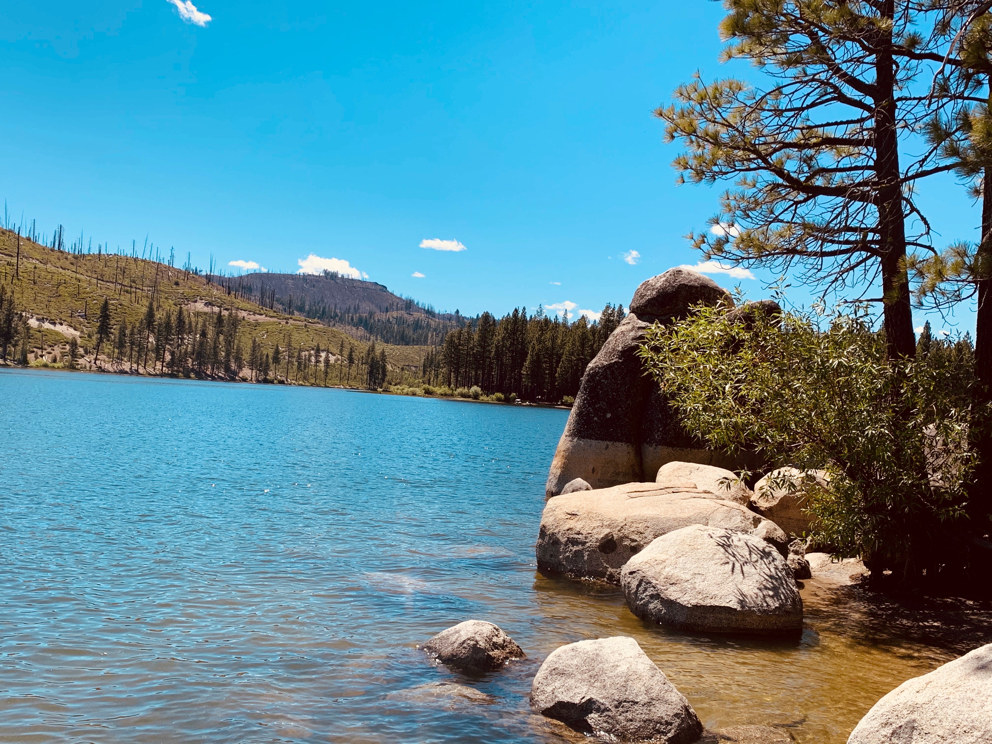
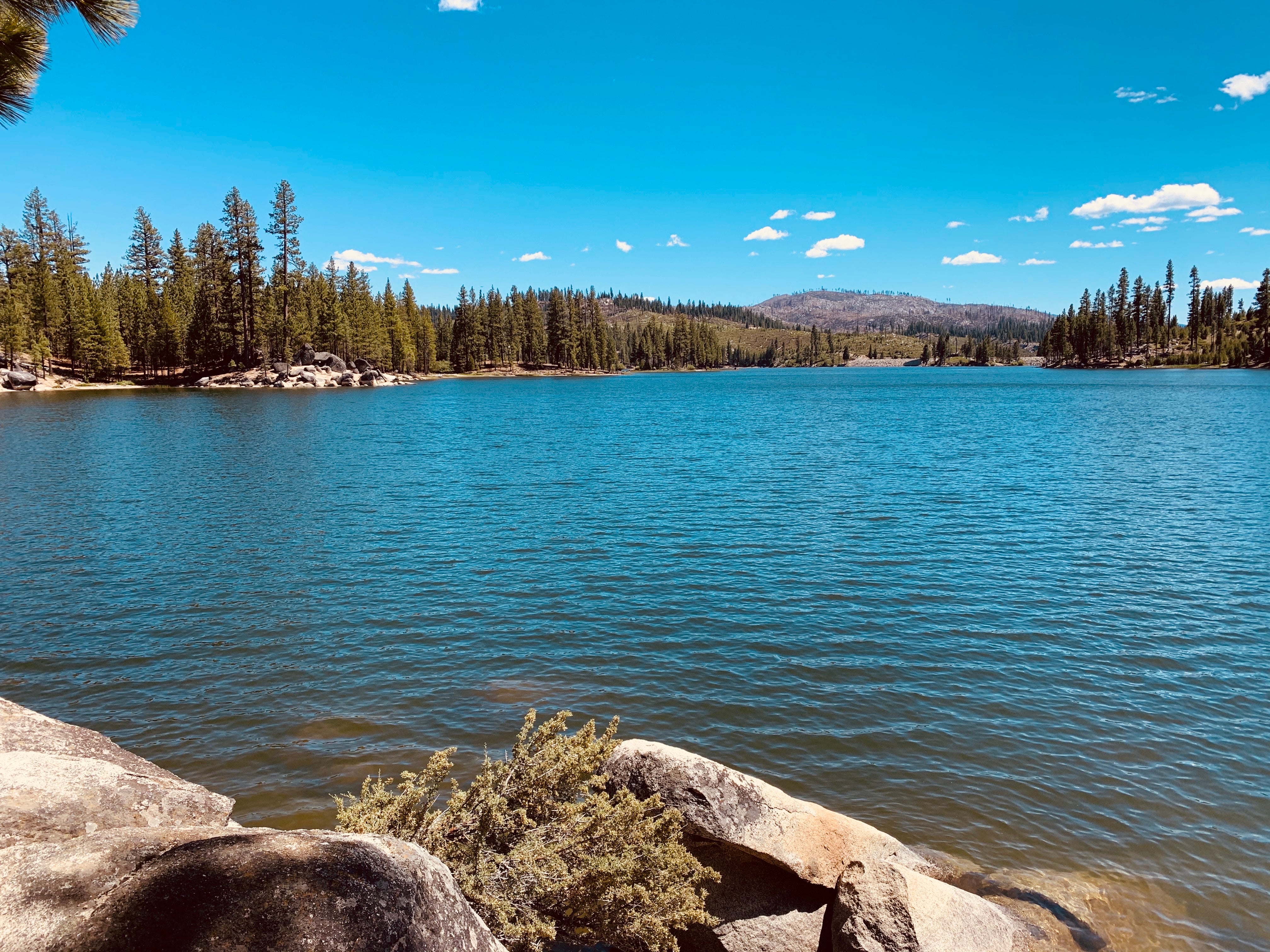
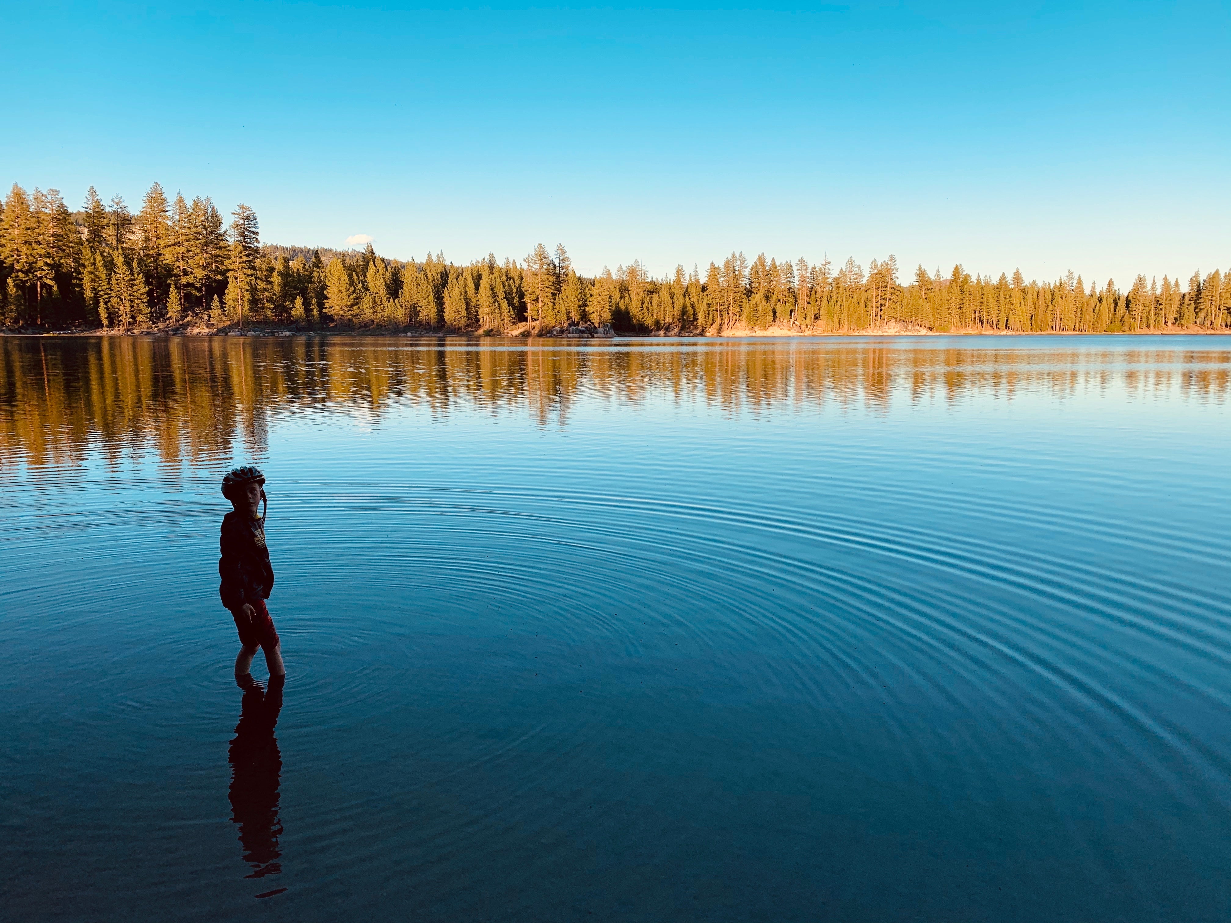
Lone Rock Campground is one of three in the Antelope Lake Recreation Area. Nestled in the beautiful northern Sierra Nevada mountain range, it offers forested woods and scenic vistas as far as the eye can see. Antelope Lake is one of the more remote, quiet lakes in the Plumas National Forest, making it a popular destination for anglers and explorers of all abilities.
Recreation
The campground's close proximity to the lake provides visitors with access to fishing, swimming, boating, water skiing and other water-related recreation activities. Anglers can look forward to a well-stocked trout, bass and catfish population. Educational programs are offered at the campground's amphitheater. Hiking and mountain biking opportunities abound. The Sunset Point trail begins near the campground.
Facilities
The campground's close proximity to the lake provides visitors with access to fishing, swimming, boating, water skiing and other water-related recreation activities. Anglers can look forward to a well-stocked trout, bass and catfish population. Educational programs are offered at the campground's amphitheater. Hiking and mountain biking opportunities abound. The Sunset Point trail begins near the campground.
Natural Features
Tall pine and fir trees provide plentiful shade to the area, which is situated at an elevation of 5,000 feet.
Nearby Attractions
The campground is 30 miles from the small town of Taylorsville. The drive along Janesville Grade has some terrific views.
Location
Lone Rock Campground is located in California
Directions
Take Arlington Road off Highway 89 (near Crescent Mills) to Taylorsville Road, continuing on Genesee Road and Indian Creek Road to Antelope Lake.
Coordinates
40.1952778 N
120.6172222 W
Access
- Drive-InPark next to your site
Stay Connected
- WiFiUnknown
- VerizonUnknown
- AT&TUnknown
- T-MobileUnknown
Site Types
- Tent Sites
- RV Sites
- Standard (Tent/RV)
- Group
Features
For Campers
- Market
- Trash
- Picnic Table
- Firewood Available
- Drinking Water
- Electric Hookups
- Toilets
- Alcohol
- Pets
- Fires
For Vehicles
- Big Rig Friendly

