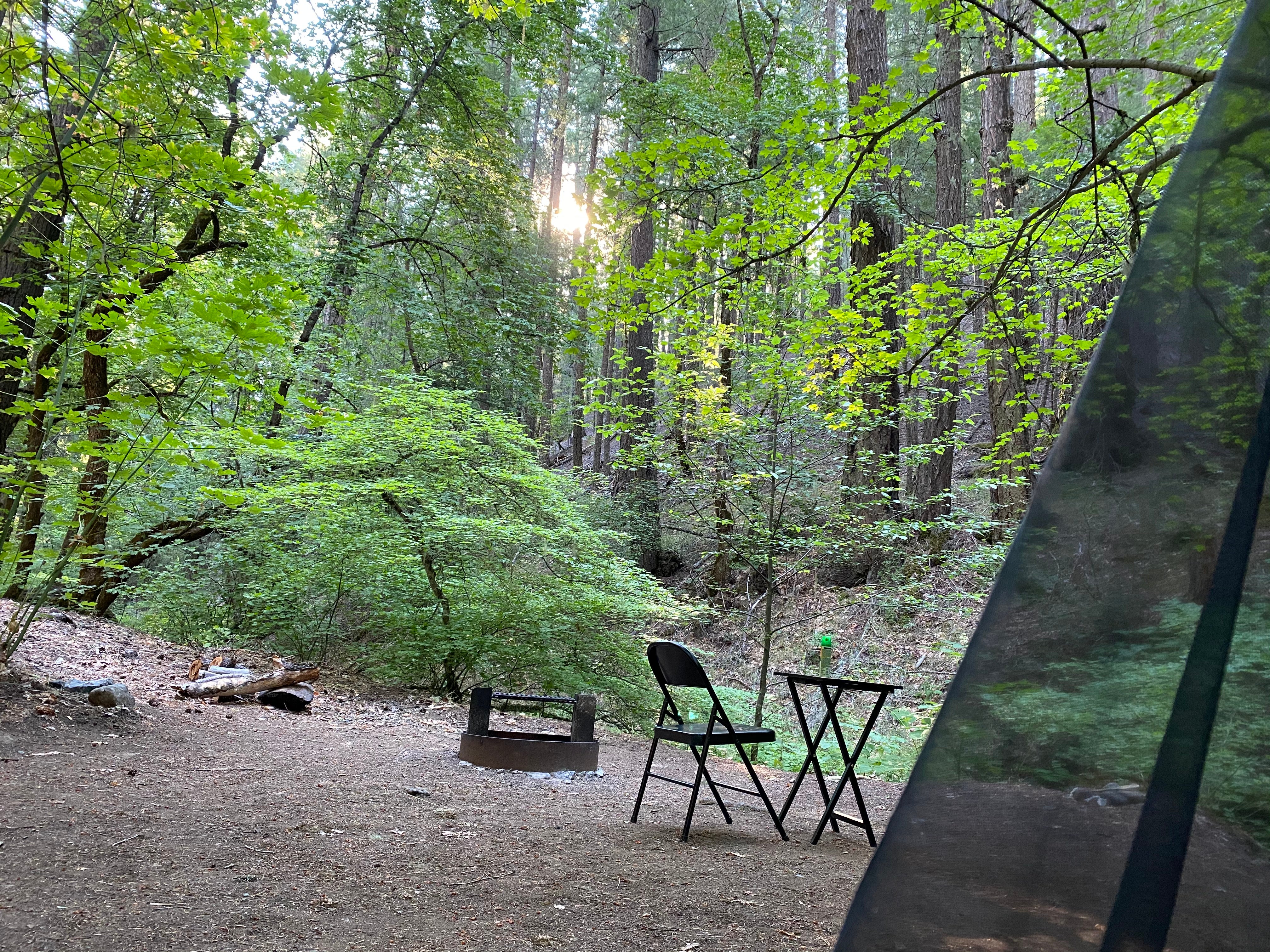
Established Camping
Deerlick Springs Campground
About
National Forest
Shasta-Trinity National Forest
Information unavailable at this time.
Location
Deerlick Springs Campground is located in California
Directions
Travel west on Hwy 36 to Harrison Gulch Road, 1/4 mile west of the district office. This paved county road is 5 miles long and connects with Forest road 30N44 north of Knob. Road 30N44 is only 1/10 mile in length and merges with the Forest Road 01 five miles from Deerlick Springs campground.
Coordinates
40.47000054 N
122.92600097 W
Access
- Drive-InPark next to your site
- Walk-InPark in a lot, walk to your site.
Stay Connected
- WiFiUnknown
- VerizonUnknown
- AT&TUnknown
- T-MobileUnknown
Site Types
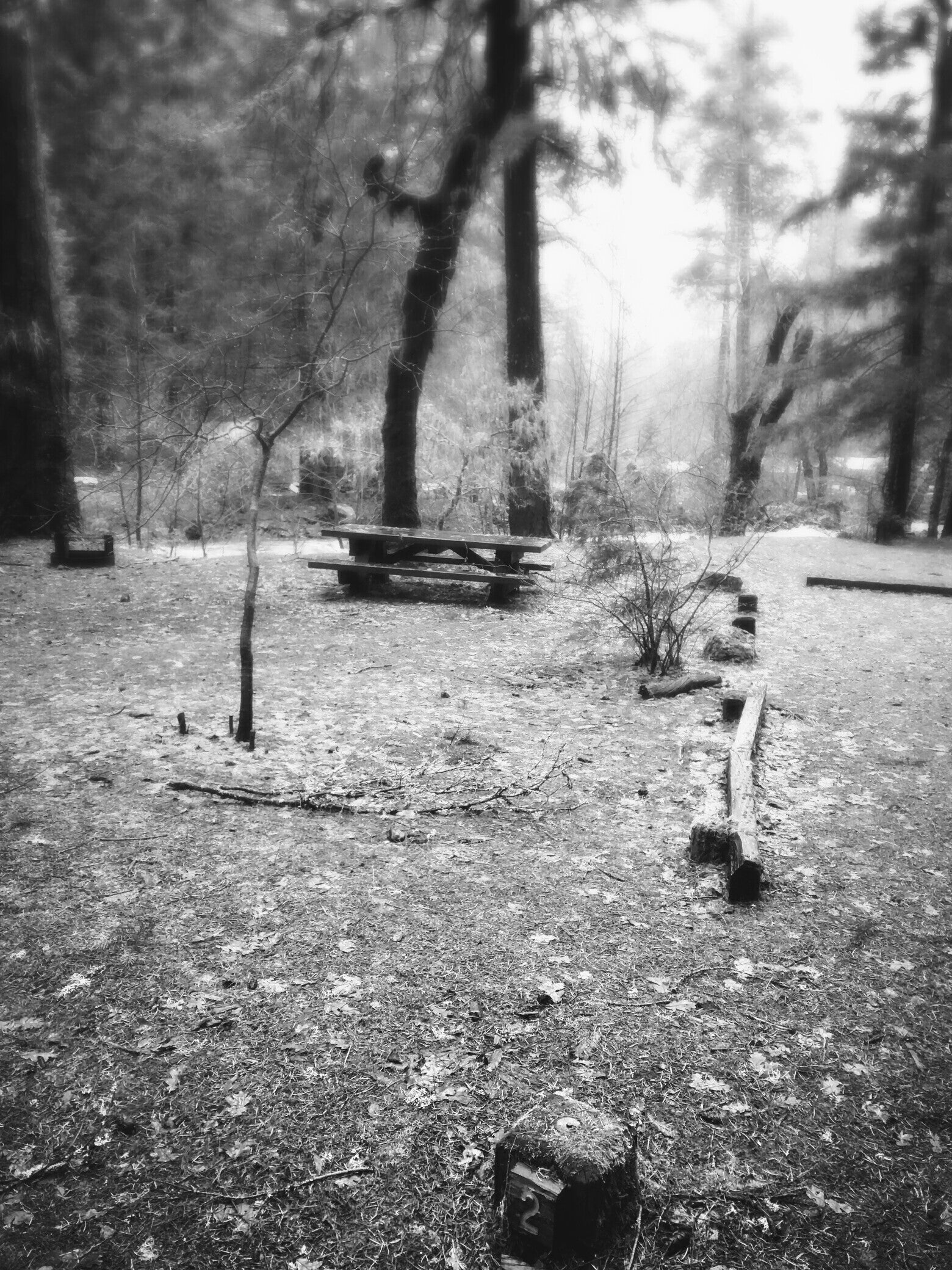
- Tent Sites
Features
For Campers
- Market
- Picnic Table
- Firewood Available
- Phone Service
- Toilets
- Alcohol
- Pets

