Established Camping
Blue Ridge Campground
About
National Forest
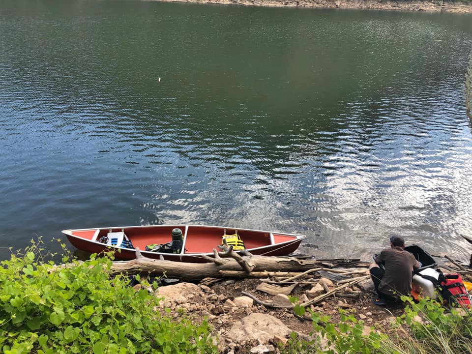
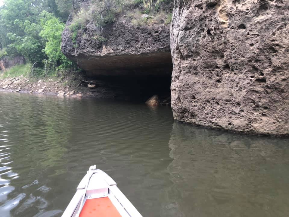
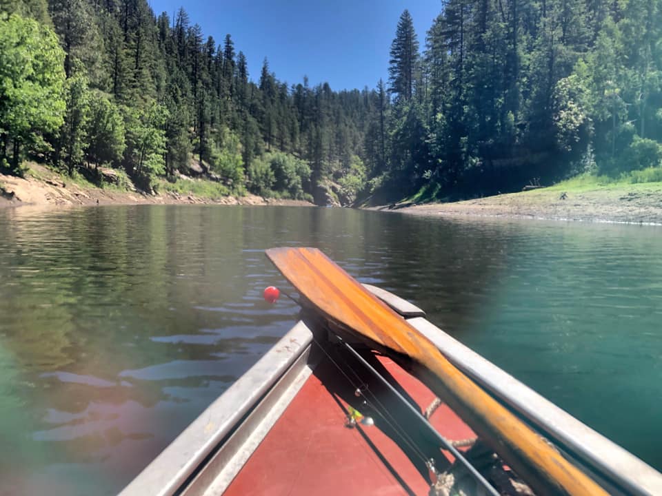
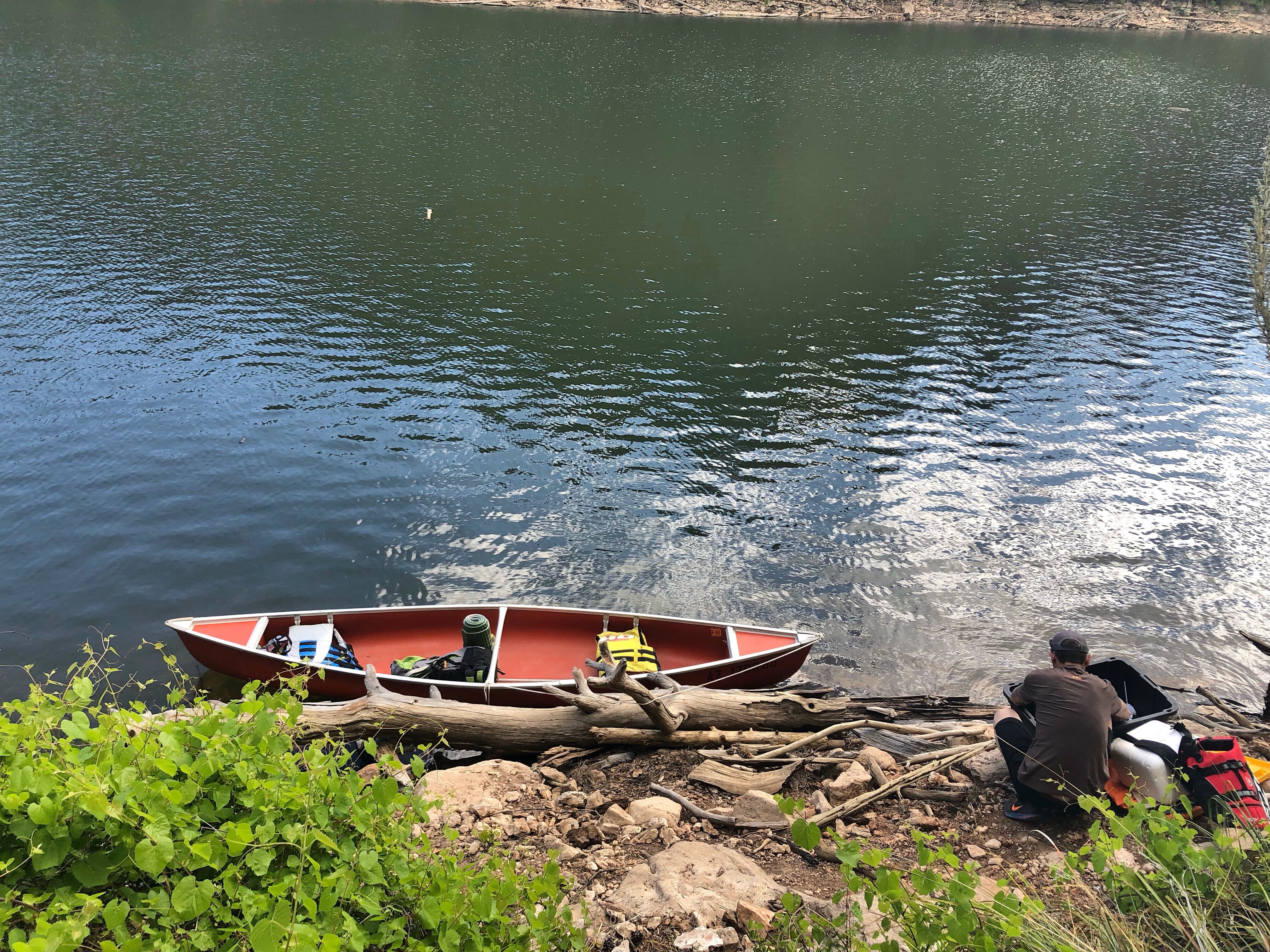
Blue Ridge Campground is located about 5 miles north of Blue Ridge Reservoir, as the crow flies. It is about 10 miles by road. This narrow, winding body of water looks more like a canyon-bound river than a lake. Nestled between forested canyon walls it provides picturesque water recreation in a secluded, wooded setting. If fishing is your cup of tea, you can catch rainbow, brown or brook trout here.
There's plenty to do for everyone, including sightseeing, wildlife watching, hiking, and mountain biking available here in these canyon-carved uplands. If just talking about all this activity makes you want to kick back and relax with nothing more strenuous to do than watch the squirrels bury pine seeds, then one of these shady, forested areas is probably just the place for you.
Reservation Info
No reservations. First come first served.
Group Campouts and Events: This campground does not have facilities for large groups or group activities. If one campsite cannot accommodate your group (eight people and two vehicles), please call the Mogollon Rim Ranger District at 928-477-2255 to plan your group camp-out at Elks, Moqui, or Long Valley group campgrounds.
Location
Blue Ridge Campground is located in Arizona
Directions
Location: Blue Ridge Campground is located off of Forest Road 138, approximately one mile east (or south) of State Highway 87 (mile post 298.8). This intimate camp is approximately 40 miles southwest of Winslow; 50 miles northeast of Payson, and 70 miles southeast of Flagstaff in a beautiful surrounding of mature ponderosa pine, oak and quaking aspen. The elevation is approximately 7000 feet. GPS (Map): 34°35'31.0"N 111°12'02.9"W Access: From Flagstaff drive 55 miles south on FH 3 (Lake Mary Road) to AZ 87 at Clints Well. Turn left and drive approximately 9 miles to the Moqui-Blue Ridge Campground signs at FR 138. Turn right and drive about one mile to the campground which will be on your right.
Coordinates
34.5919766 N
111.20063655 W
Access
- Drive-InPark next to your site
- Walk-InPark in a lot, walk to your site.
Stay Connected
- WiFiUnknown
- VerizonUnknown
- AT&TUnknown
- T-MobileUnknown
Site Types
- Tent Sites
- RV Sites
- Standard (Tent/RV)
Features
For Campers
- Trash
- Picnic Table
- Phone Service
- Drinking Water
- Toilets
- Alcohol
- Pets

