Established Camping
Burlingame State Park Campground
About
State Park
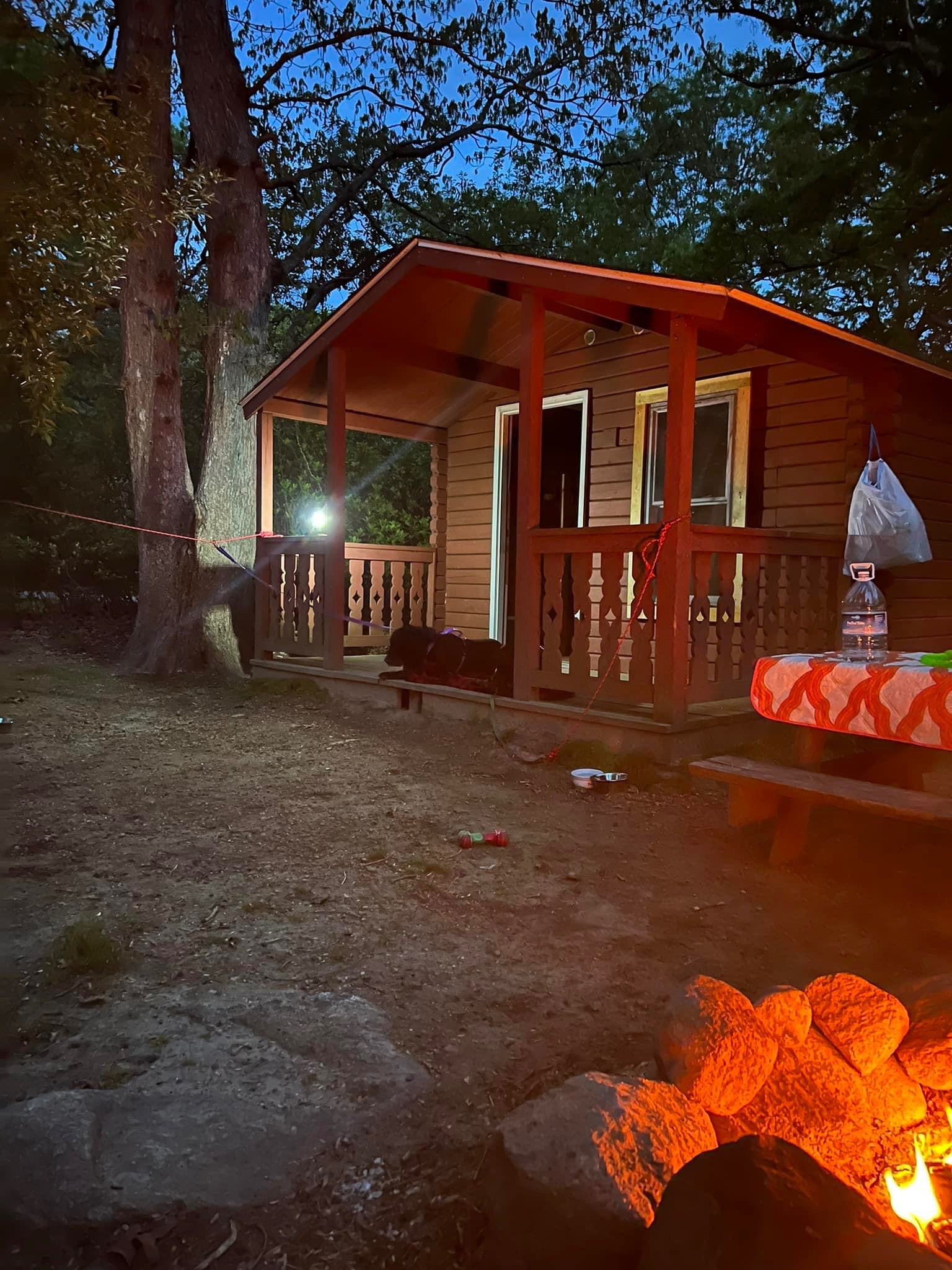
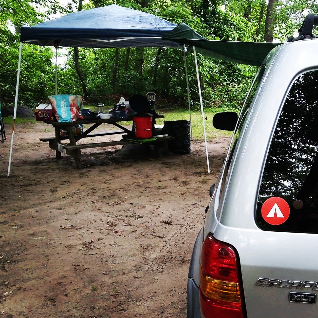
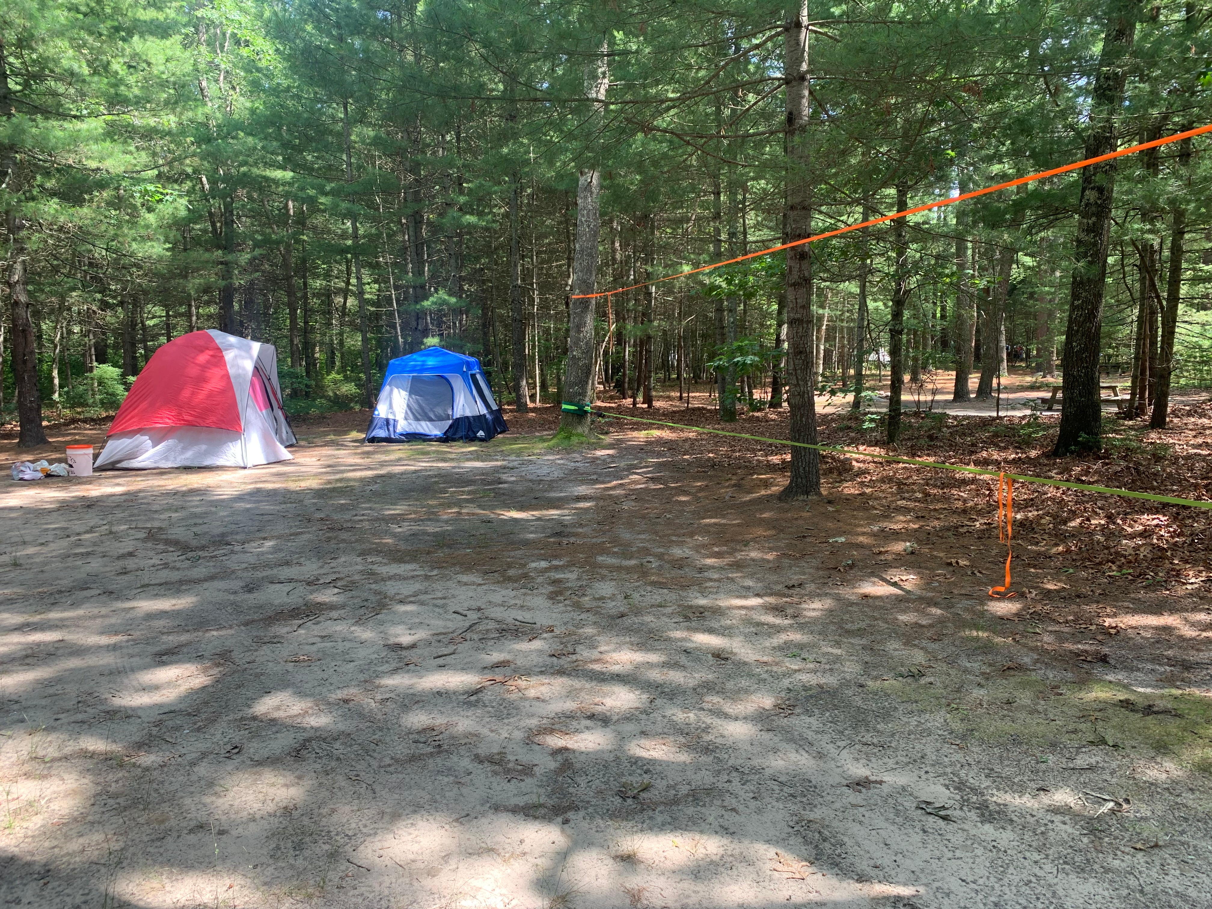
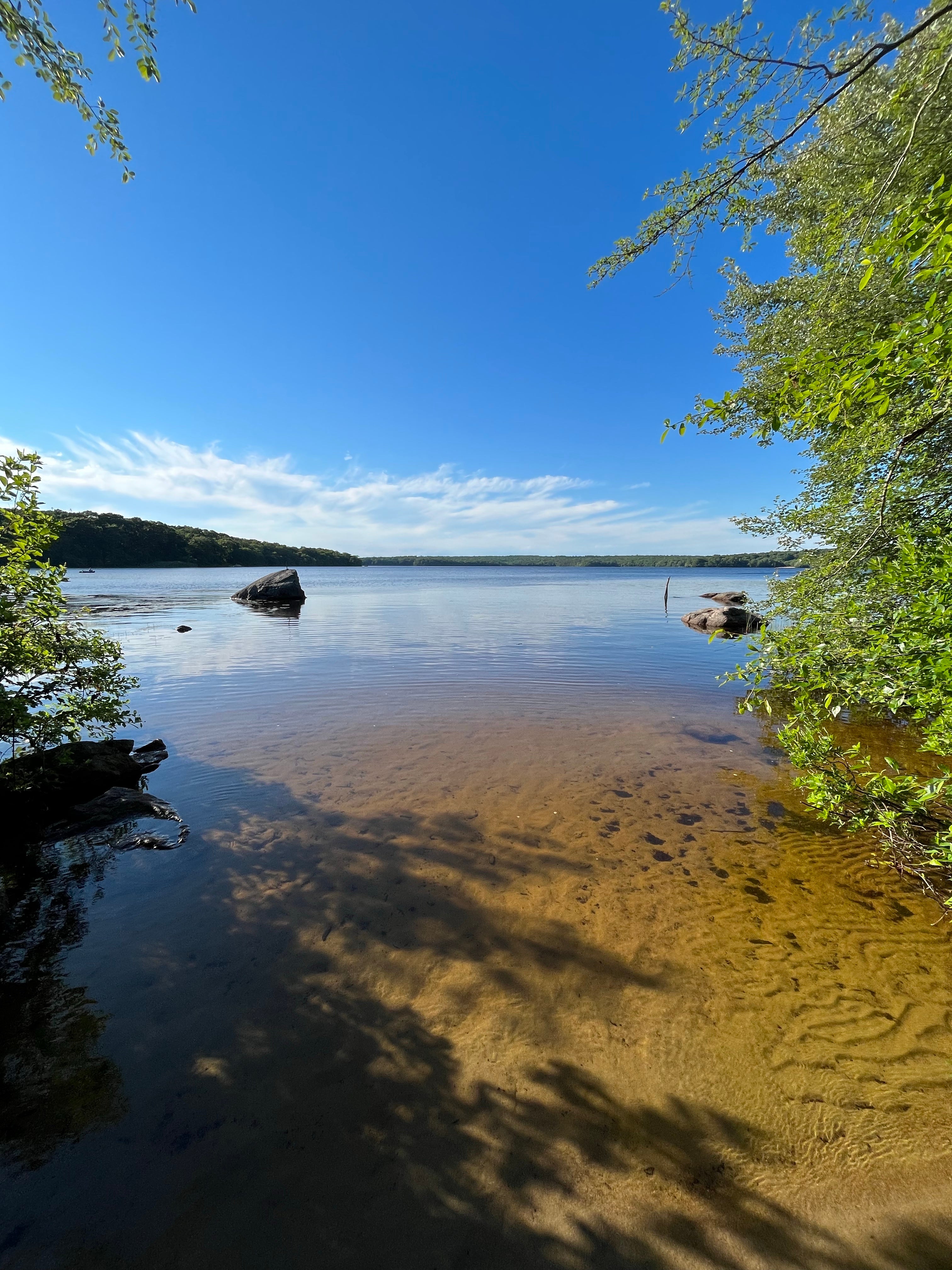
Located next to Watchaug Pond in Charlestown, this spacious campground includes approximately 700 campsites, as well as 20 cabins. Utilities ARE NOT available at this campground. The campground features conveniently located restrooms with shower facilities, a playground, arcade, freshwater beach, boat ramp, canoe rentals and hiking trails. The camp store carries a wide variety of camping necessities, along with a large selection of souvenirs. The campground abuts the Burlingame Management Area and Kimball Wildlife Sanctuary and is located near numerous ocean beaches, including Misquamicut State Beach, Charlestown Breachway and East Matunuck State Beach.
6 New Cabin Sites will be available summer of 2022.
Septic Dump Station Passes are available for a fee to non-registered campers to utilize both the dump and water filling stations.
Main Camp is restricted to tent camping only.
Address: 1 Burlingame State Park Road, Charlestown, RI 02813
Location
Burlingame State Park Campground is located in Rhode Island
Directions
The entrance to the park headquarters and camping area is off Route 1 in Charlestown. From Connecticut Points North - Route 95 North to exit 92 (in CT), at end of exit ramp take right onto CT Route 2. Proceed 1.5 miles and take right onto Route 78. Follow Route 78 until end; take left at light onto Route 1. Proceed 7.5 miles, follow signs into campground. From Rhode Island Points North- Route 95 South to exit 9 (Route 4), Route 4 South becomes Route 1 South. Continue approximately 26 miles, take second Burlingame State Park exit. From Points East - Proceed west over the Newport/Jamestown bridges, take Route 138 West to Route 1 South. Continue approximately 18 miles, take second Burlingame State Park exit.
Coordinates
41.361963152752345 N
71.70067696809818 W
Access
- Drive-InPark next to your site
- Walk-InPark in a lot, walk to your site.
- Hike-InBackcountry sites.
- Boat-InSites accessible by watercraft.
Stay Connected
- WiFiUnknown
- VerizonAvailable
- AT&TUnknown
- T-MobileUnknown
Site Types
- Tent Sites
- RV Sites
- Standard (Tent/RV)
- Group
- Cabins
- Tent Cabin
Features
For Campers
- Market
- ADA Access
- Trash
- Picnic Table
- Firewood Available
- Phone Service
- Reservable
- Showers
- Drinking Water
- Toilets
- Pets
- Fires
For Vehicles
- Sanitary Dump
- Pull-Through Sites
- Big Rig Friendly

