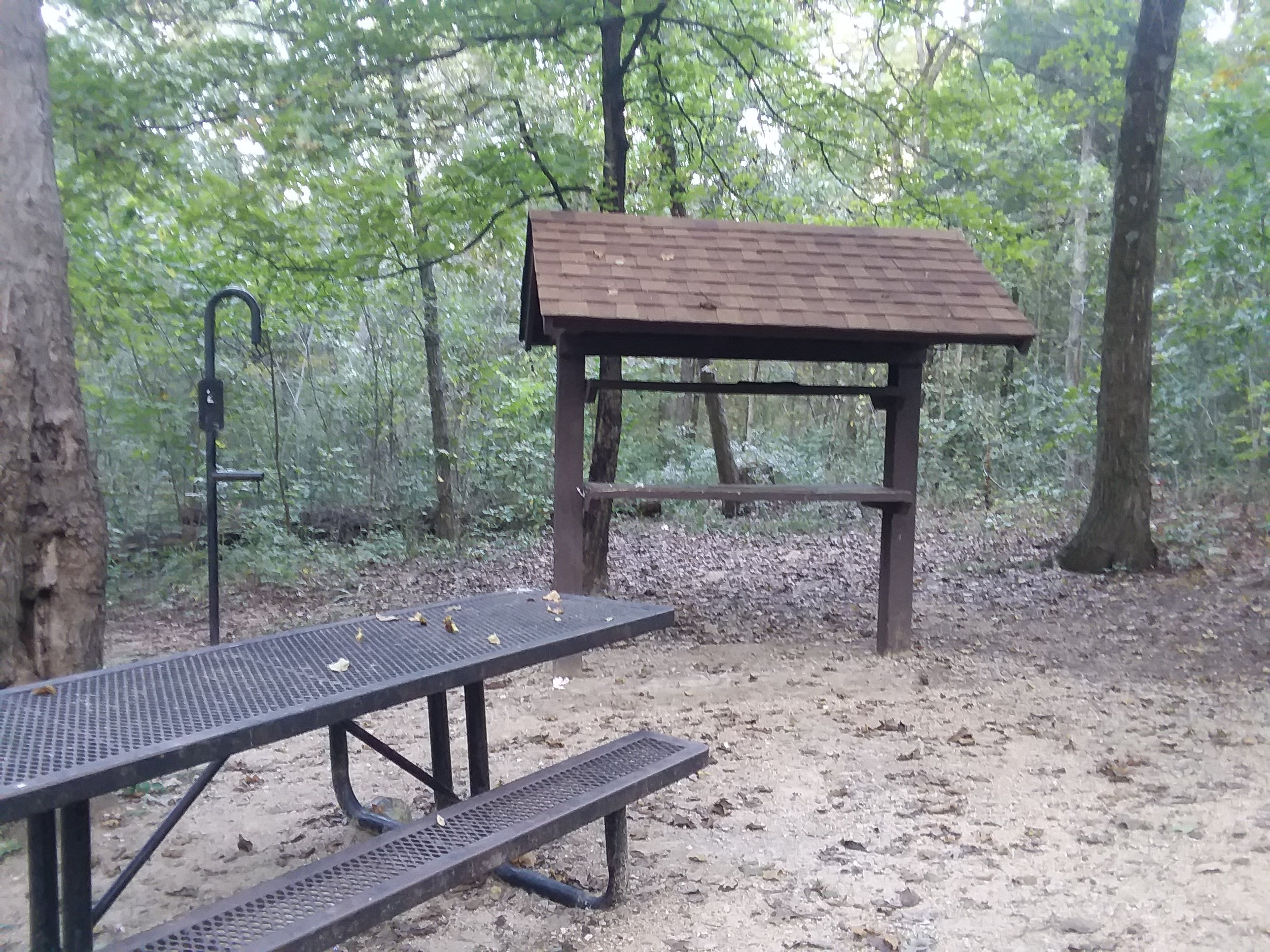
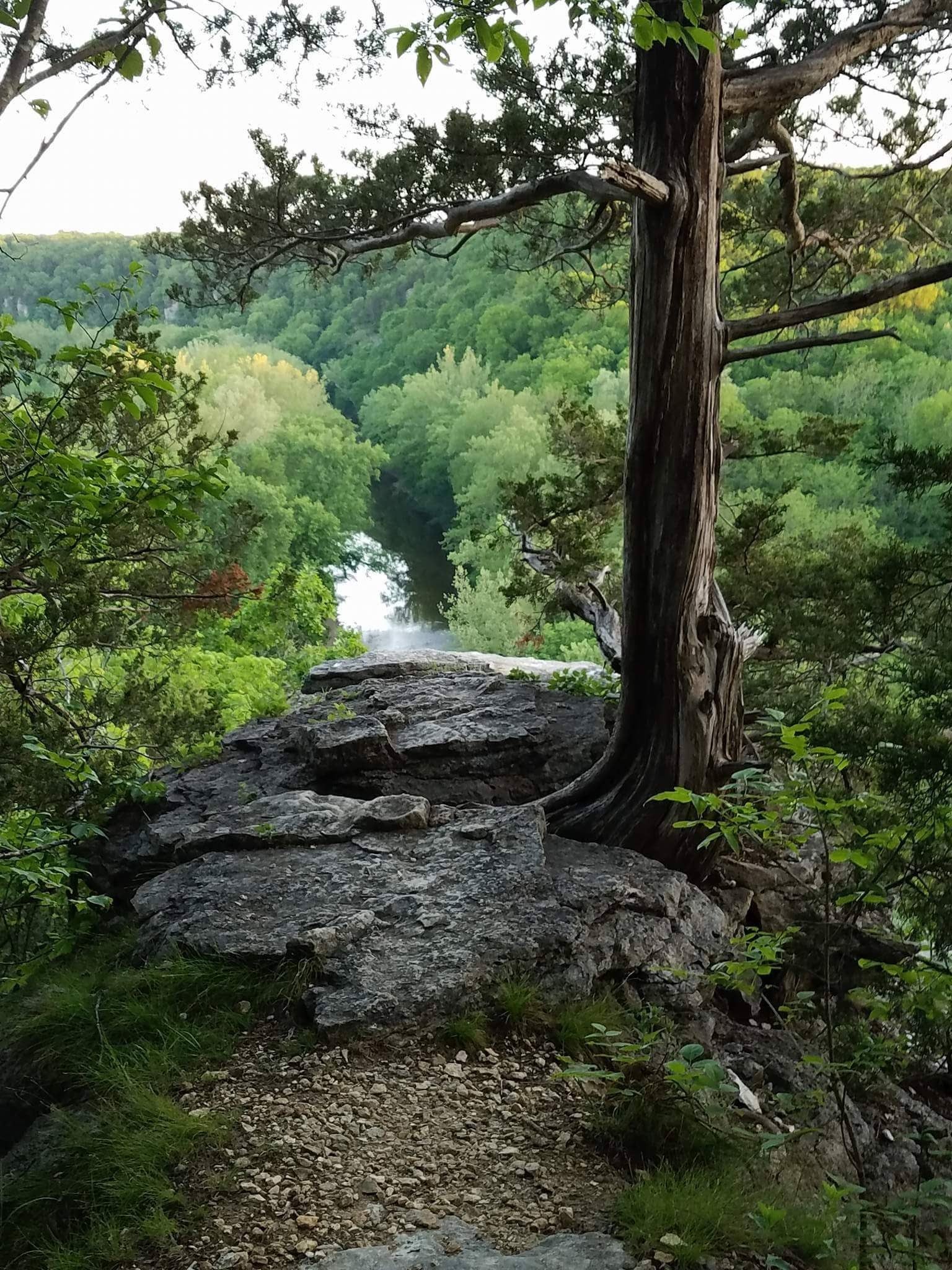
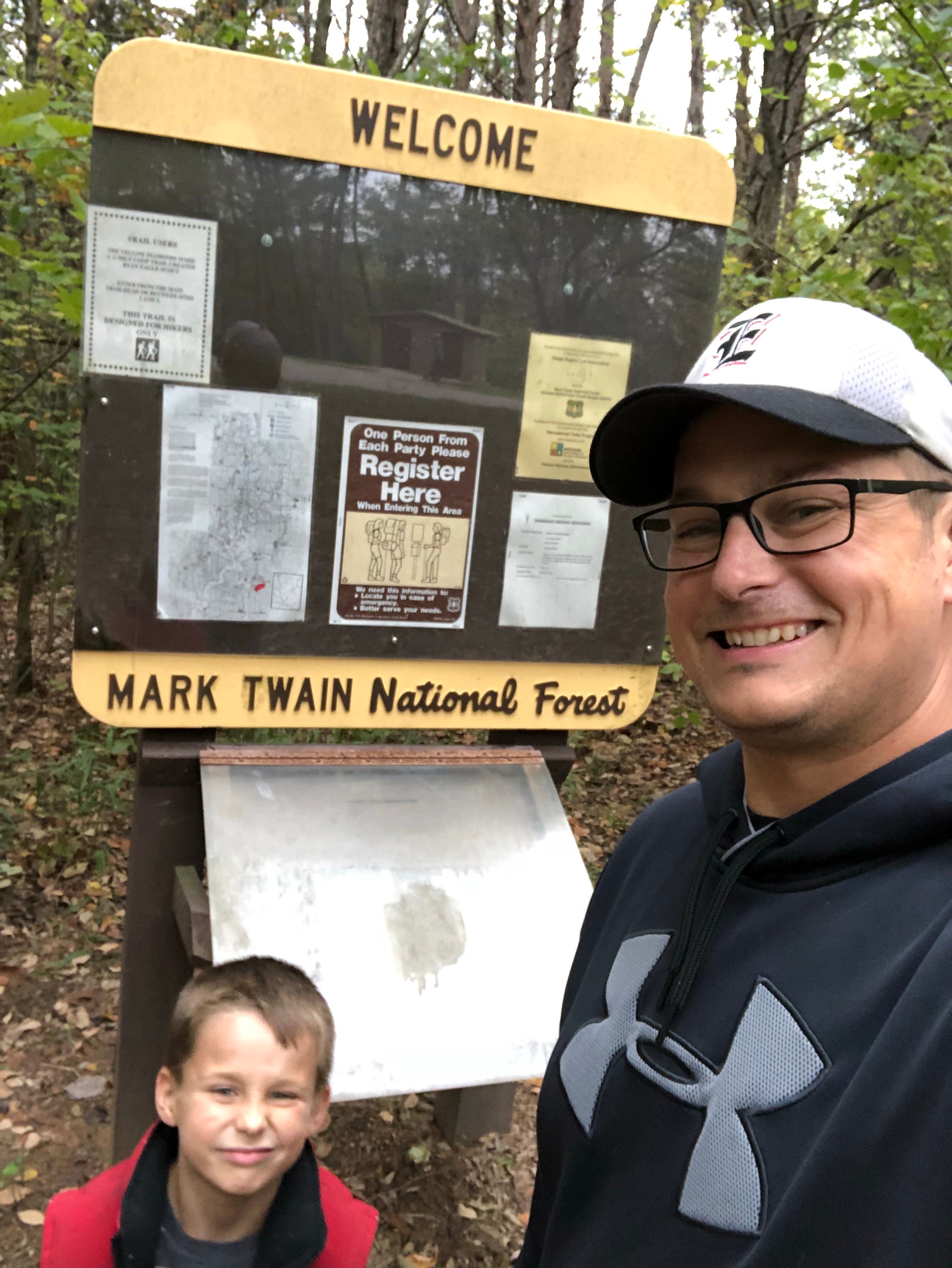
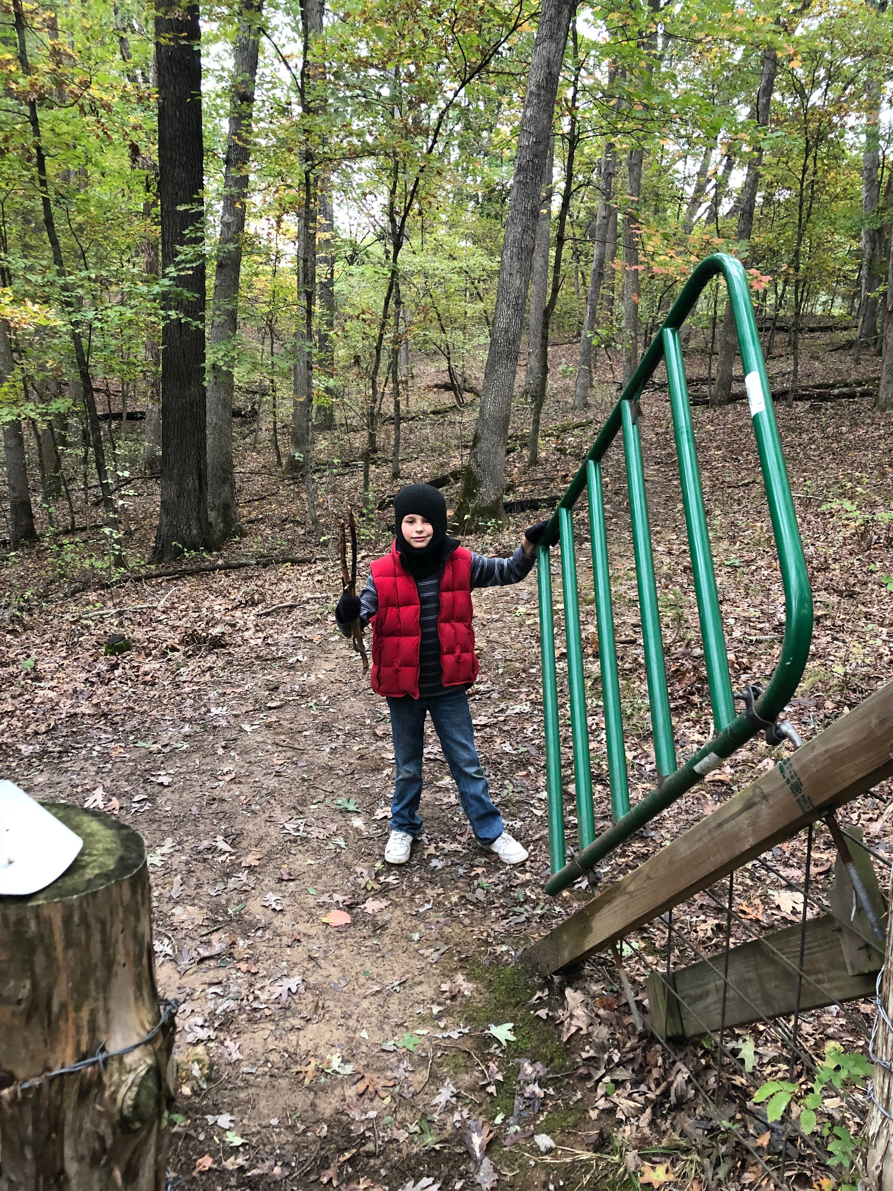
Camper submitted image from Pine Ridge Recreation Area - 1
View All
Camper submitted image from Pine Ridge Recreation Area - 2
Nature
Camper submitted image from Pine Ridge Recreation Area - 3
People
Camper submitted image from Pine Ridge Recreation Area - 4
Signs & Maps
Camper submitted image from Pine Ridge Recreation Area - 5
Roads

Free Camping Collection

Dispersed Camping

Pine Ridge Recreation Area

About

USDA Forest Service

This area is located in a pine forest and provides a campground and picnic area while serving as a trailhead to the 36-mile Cedar Creek Trail. Four picnic sites and 8 campsites are provided. Larger grassy area can provide small groups such as scouts.

Suggest an Edit

Location

Pine Ridge Recreation Area is located in Missouri

Detail location of campground

Directions

From New Bloomfield, head west on Route MM 1 mile;  Turn north on Route J to Guthrie; Then turn west on Route Y for 2 miles. From Ashland, go east on Route Y, 7 miles.

Coordinates

38.7580086 N
92.1423314 W

Open in Google Maps

The Dyrt Alerts

Get reservations at sold-out campgrounds.

Learn More

Access

  • Drive-In
    Park next to your site
  • Walk-In
    Park in a lot, walk to your site.

Stay Connected

  • WiFi
    Good
  • Verizon
    Unknown
  • AT&T
    Unknown
  • T-Mobile
    Unknown

Site Types

  • Dispersed

Features

For Campers

  • ADA Access
  • Trash
  • Picnic Table
  • Phone Service
  • Drinking Water
  • Toilets
  • Alcohol
  • Pets
  • Fires

Frequently Asked Questions

What is the max vehicle length at Pine Ridge Recreation Area?

Pine Ridge Recreation Area allows vehicles up to 34 feet.

Are fires allowed at Pine Ridge Recreation Area?

Yes, according to campers on TheDyrt.com, fires are allowed at Pine Ridge Recreation Area, although make sure to check current fire restrictions in the area.

Is there cell phone reception at Pine Ridge Recreation Area?

According to campers on TheDyrt.com, Verizon signal is unknown, AT&T is unknown, and T-Mobile is unknown.