Established Camping
Damsite
About
US Army Corps of Engineers
Pomme De Terre Lake
Overview
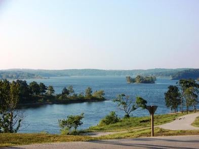
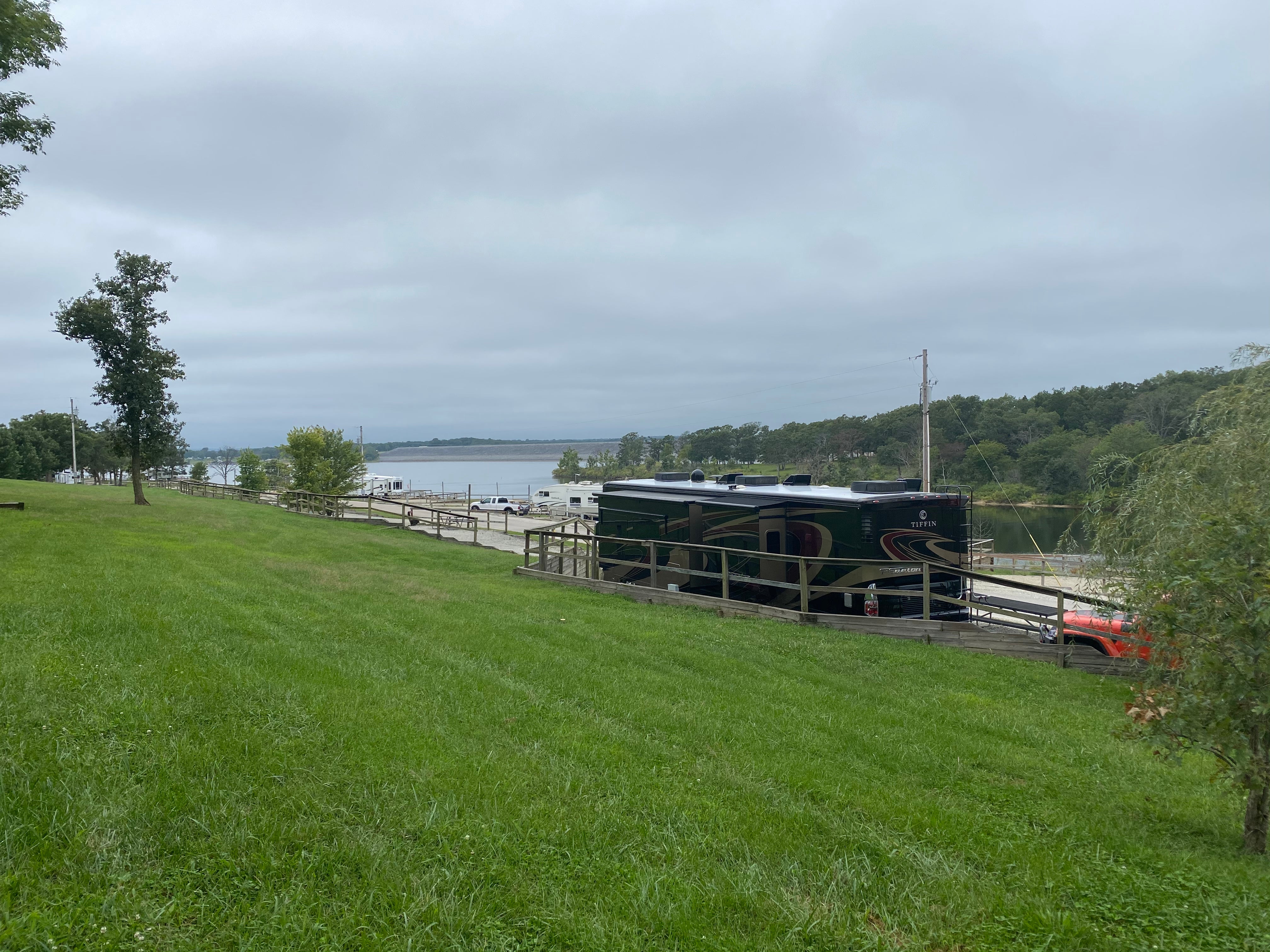
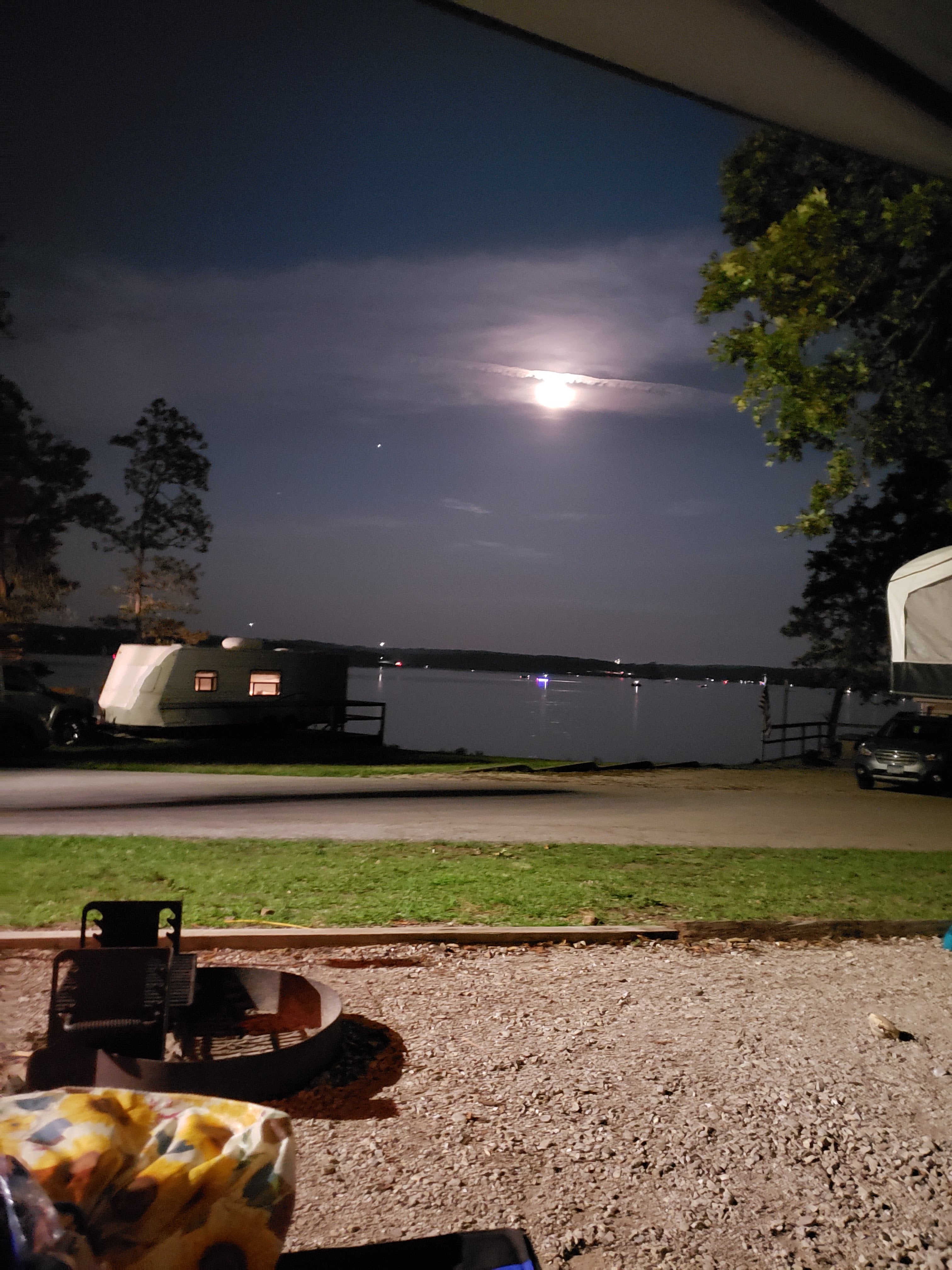
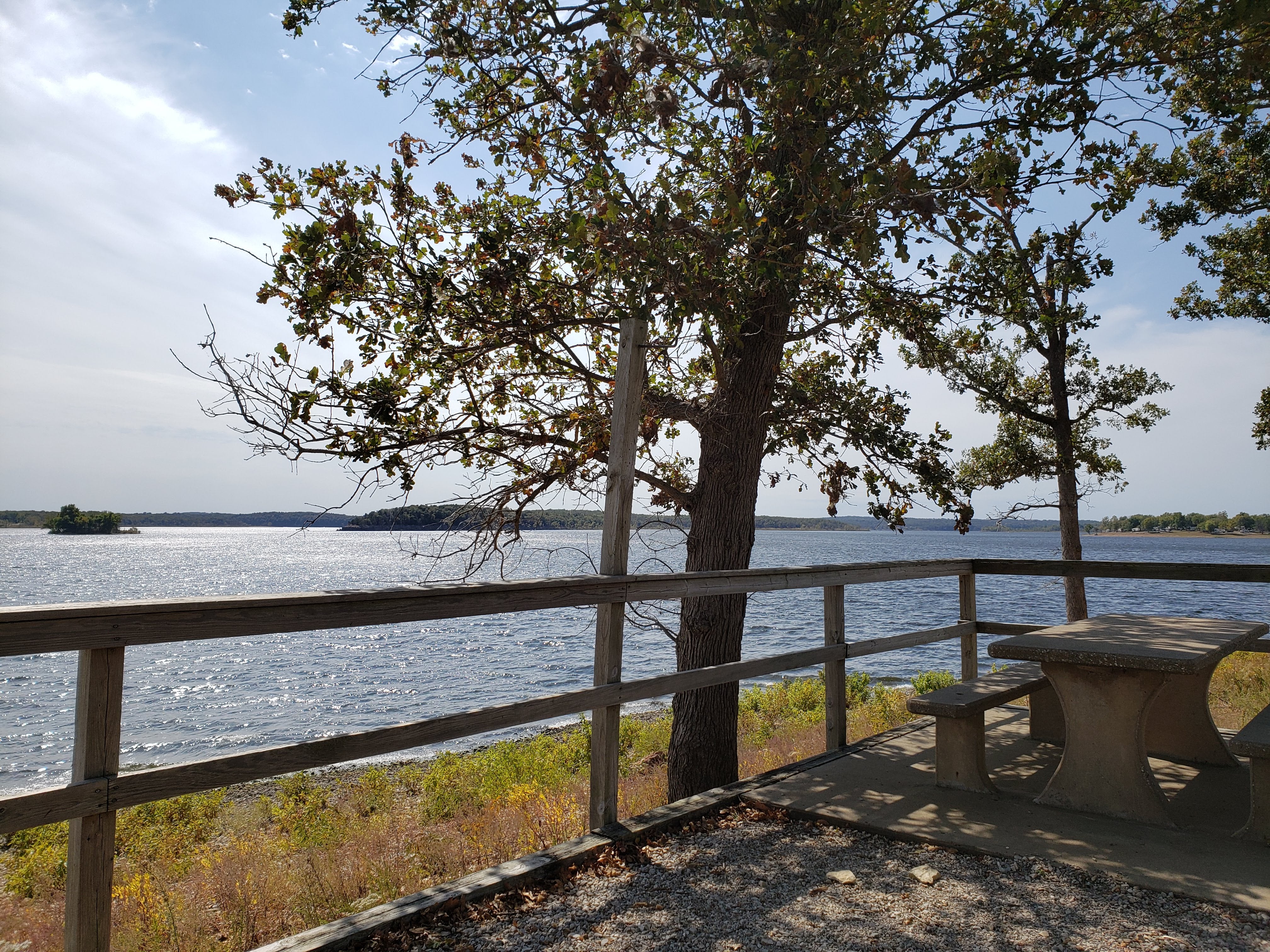
Visitors head to Damsite on Pomme de Terre Lake for days of enjoyable boating, fishing and swimming. Just as the name implies, Damsite Park is just above the dam, at the confluence of Lindley Creek and the Pomme de Terre River. The lake is named for the river that feeds it. The phrase "Pomme de Terre" is French for potato or "apple of the earth." Most likely, the river was named by early French trappers and fur traders when they discovered plants resembling potatoes on the riverbanks.
Recreation
Excellent fishing is found at the lake, which boasts one of the best catch ratios in the country. Each fall the lake is stocked with muskie, but crappie, largemouth and white bass are also found in abundance. Every year on Fourth of July holiday weekend, a fireworks display takes place over the dam.
Facilities
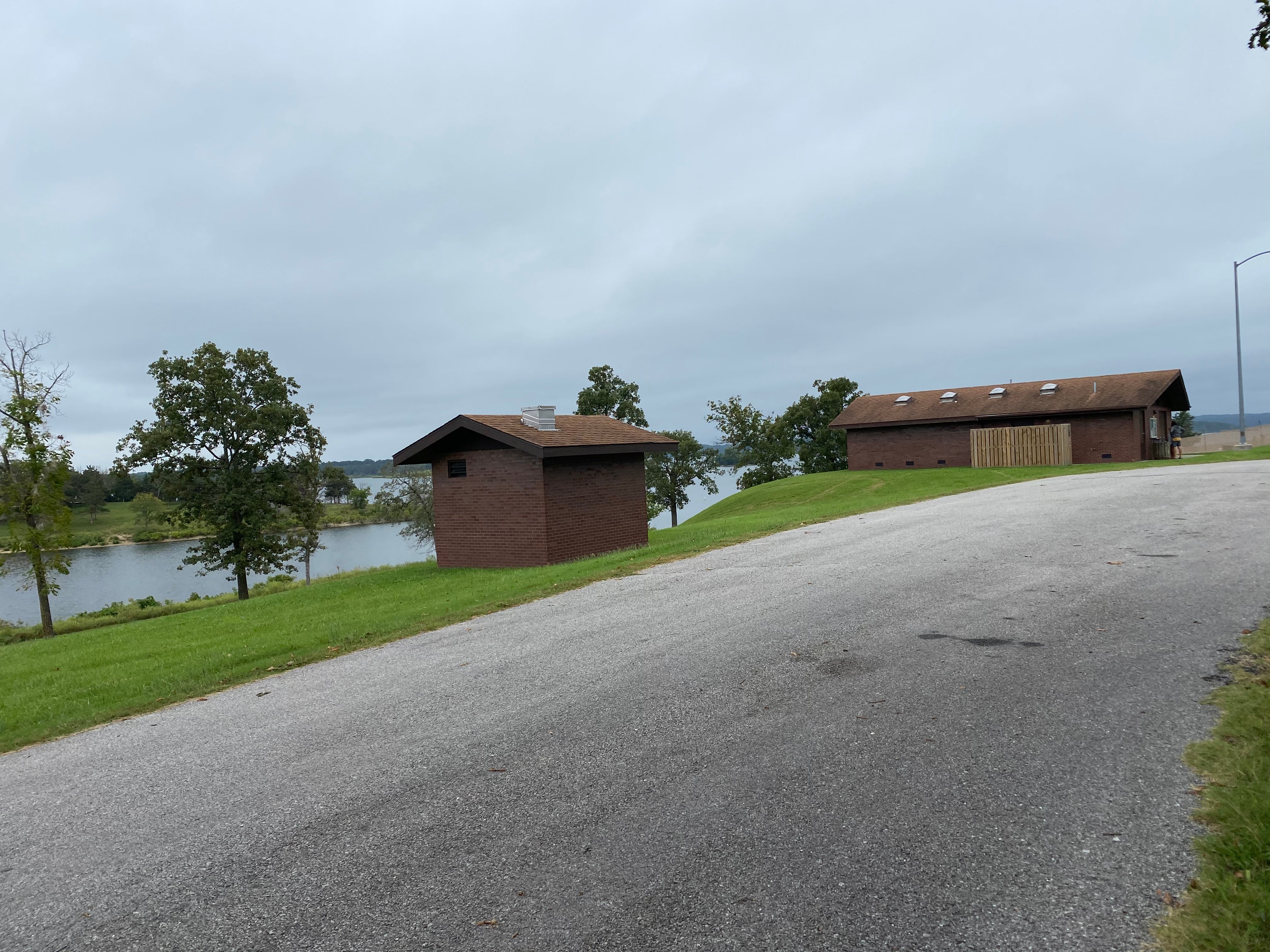
Excellent fishing is found at the lake, which boasts one of the best catch ratios in the country. Each fall the lake is stocked with muskie, but crappie, largemouth and white bass are also found in abundance. Every year on Fourth of July holiday weekend, a fireworks display takes place over the dam.
Natural Features
Pomme de Terre Lake sits in the rolling Ozark hills, with 7,790-acres of sparkling surface area and 113 miles of shoreline.
Nearby Attractions
One of the best dirt tracks in the country is right down the road or enjoy a round of golf at the nearby golf course. There are also multiple trails located around this part of the lake.
Location
Damsite is located in Missouri
Directions
From Springfield, MO, take US 65 north for 60 miles to Preston, MO.. Continue on Highway 54 west to Hermitage, MO., then take Highway 254/ 64 south to Carsons Corner and follow Highway 254 west toward the dam. The entrance to Damsite Park is on the south side of Highway 254.
Address
24312 State Hwy 254 Hermitage, MO 65668
MO
Coordinates
37.9047222 N
93.3077778 W
Access
- Drive-InPark next to your site
- Walk-InPark in a lot, walk to your site.
Stay Connected
- WiFiUnknown
- VerizonUnknown
- AT&TUnknown
- T-MobileUnknown
Site Types
- Tent Sites
- RV Sites
- Standard (Tent/RV)
Features
For Campers
- Trash
- Picnic Table
- Phone Service
- WiFi
- Drinking Water
- Electric Hookups
- Toilets
- Alcohol
- Pets
- Fires
For Vehicles
- Sanitary Dump
- Sewer Hookups
- Water Hookups
- Pull-Through Sites
- Big Rig Friendly

