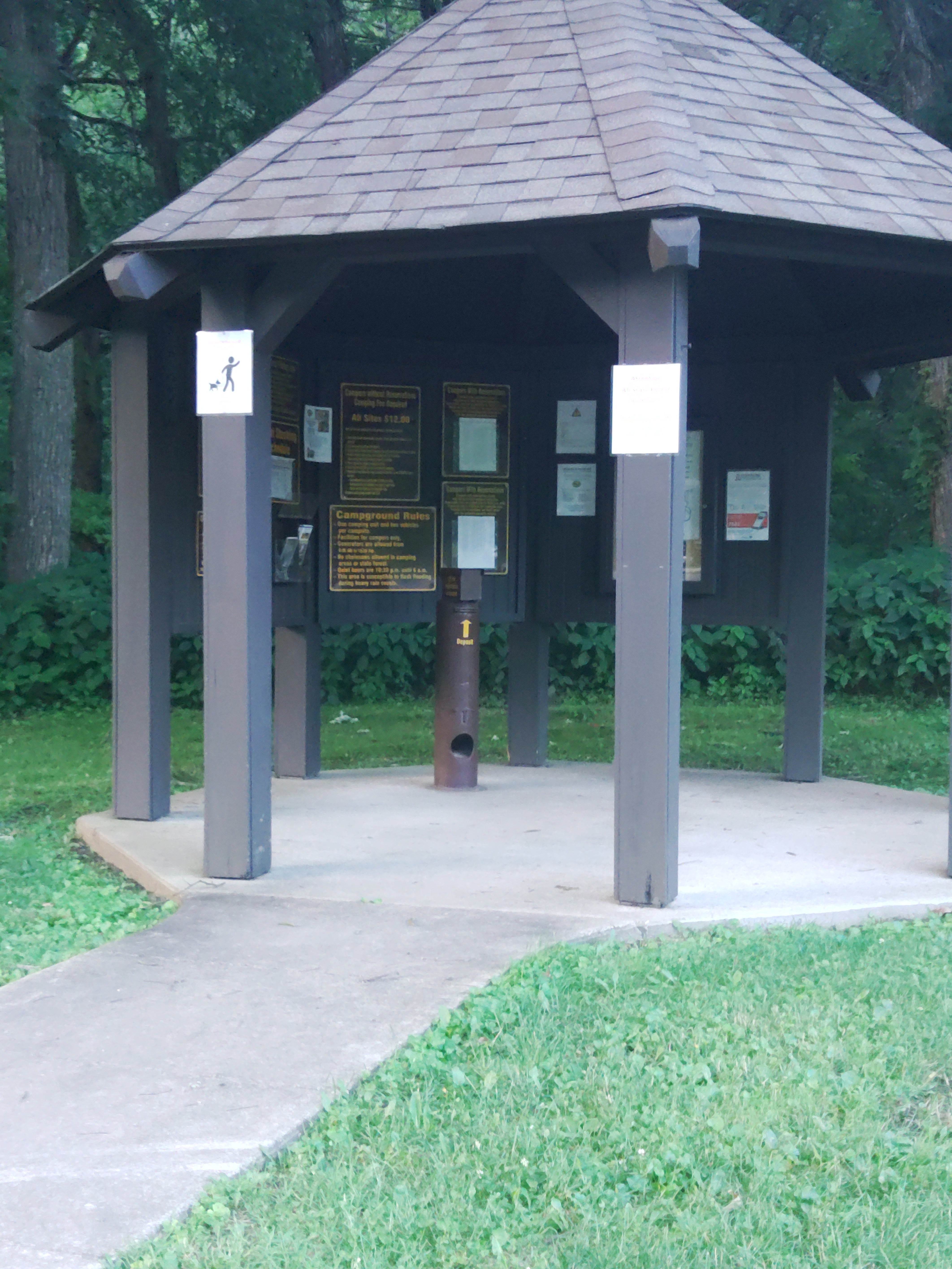
Established Camping
Frontier Equestrian Campground — Yellow River State Forest
About
Department of Natural Resources
Yellow River State Forest
Yellow River State Forest is a perfect place to explore some of Iowa's best hiking trails. Located in northeast Iowa in Allamakee County, the forest is part of the "driftless area" that escaped the glaciers during the most recent ice age. The forest consists of 8,900 acres of hardwood and coniferous forest and is comprised of 6 units.
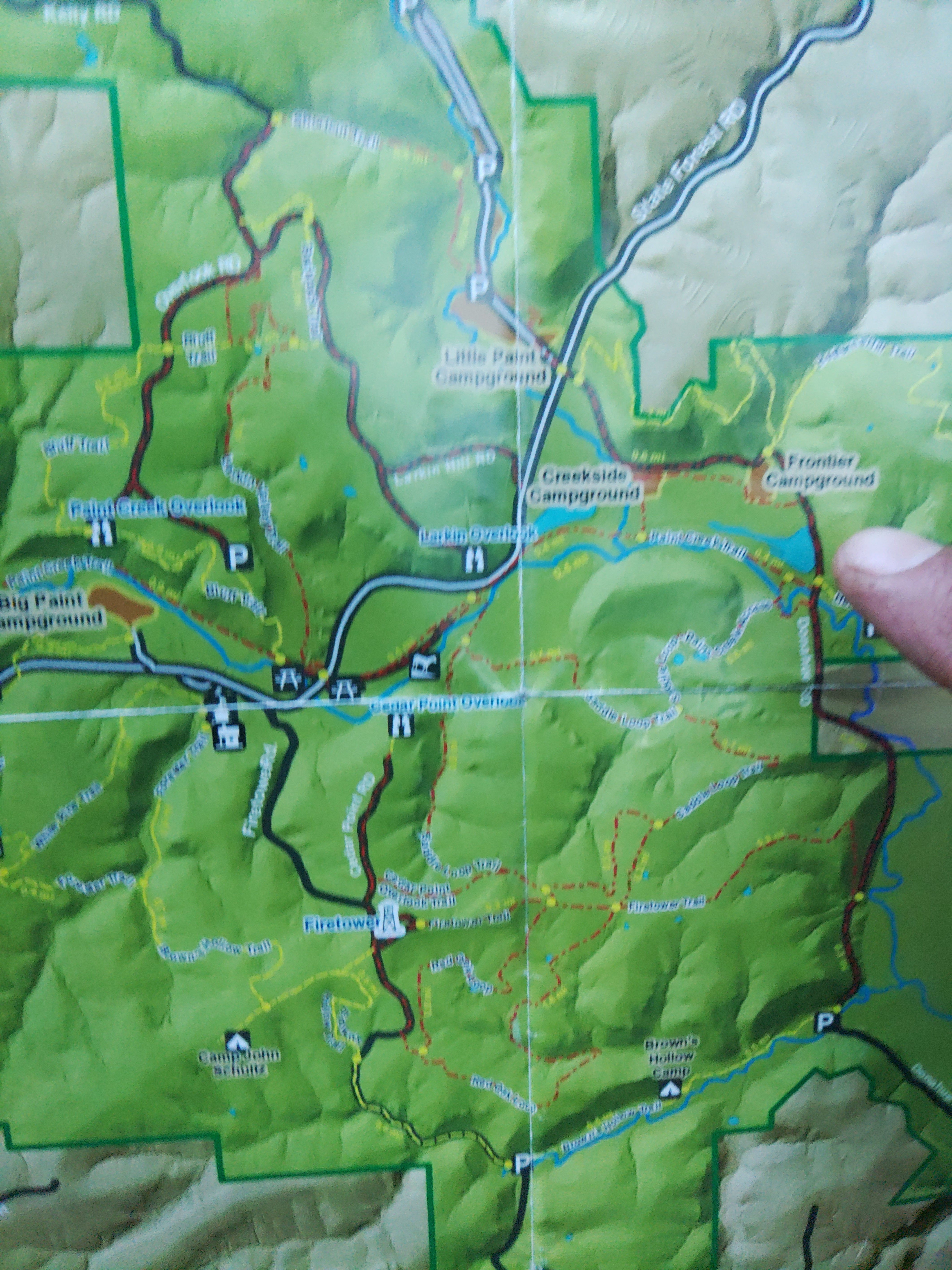
The Paint Creek Unit is of primary interest to the recreationist, with well-kept camping areas, equestrian accommodations, fishing, hunting, and over 45 miles of trails for hiking, equestrian riding, cross-country skiing, and snowmobiling.
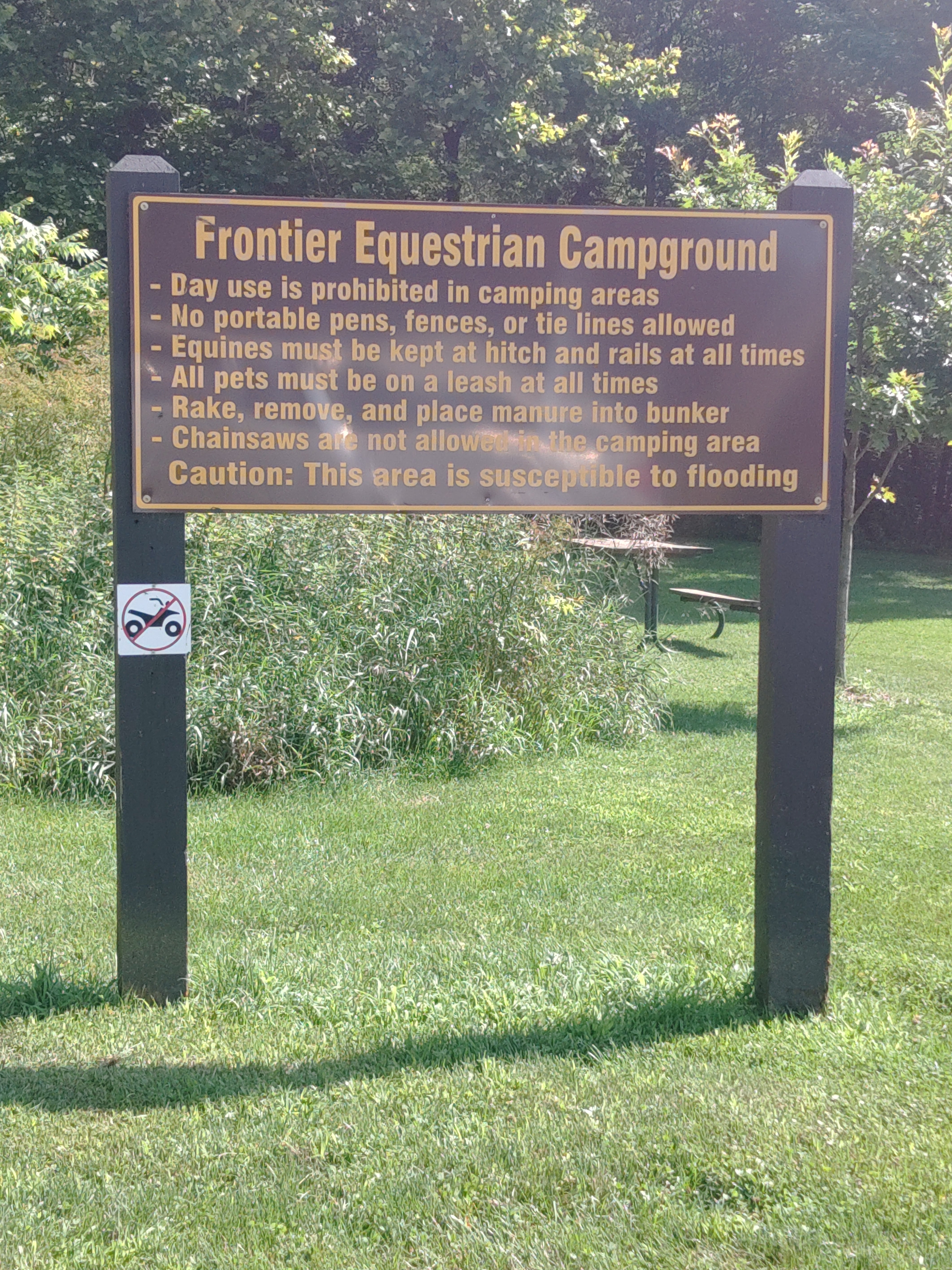
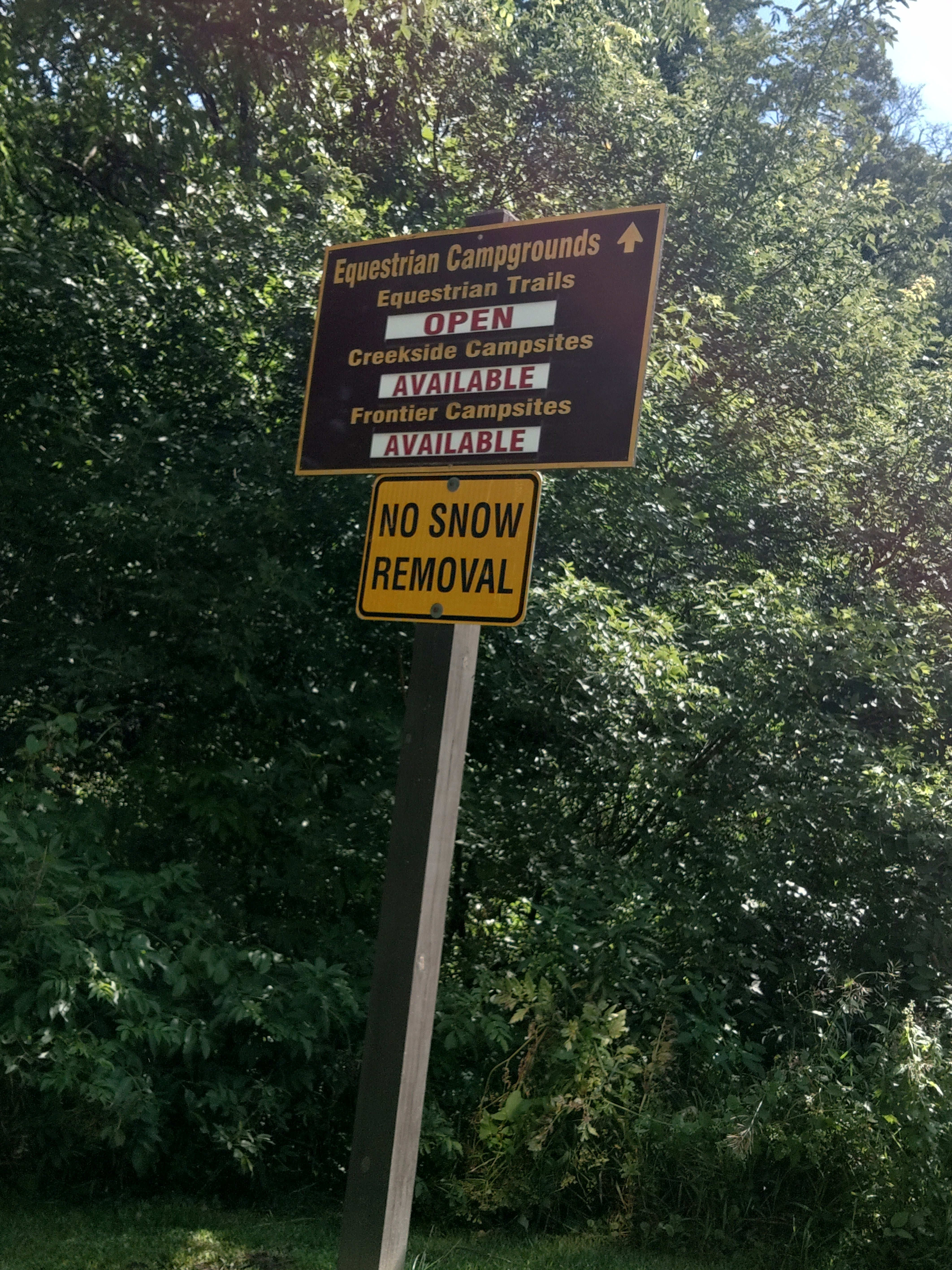
Frontier equestrian campgrounds are non-modern and have non-electric sites with hitching rails and vault toilets
Fee Info
Equestrian - Standard Non Electric: $16.00
Reservation Info
There is no drinking water located in the campgrounds at Yellow River State Forest but it is available at the A-frame information center located on State Forest Road near Big Paint Campground approximately four miles off Highway 76.
Location
Frontier Equestrian Campground — Yellow River State Forest is located in Iowa
Directions
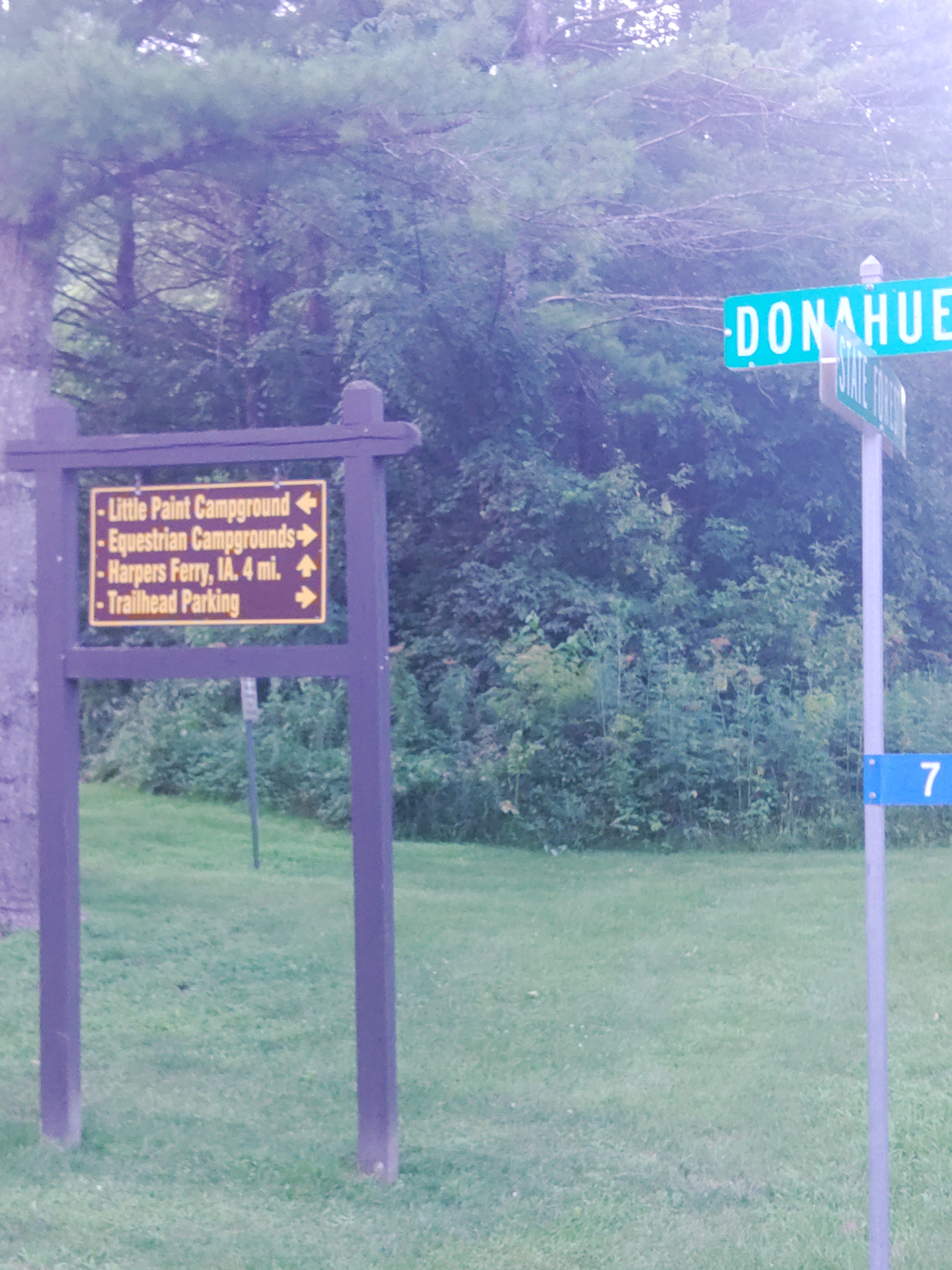
The entrance to Yellow River State Forest is located on Hwy 76. The forest is located 15 miles north of Marquette on Hwy. 76. The entrance will be on the right side of the road. This road is called State Forest Road or B25. If traveling from the north the entrance is located 10 miles south of Waukon on Hwy 76. The entrance of the forest from Waukon will be on the left. There is also an alternative entrance located west of Harpers Ferry approximately. 2 miles from town on county road X42, again look for State Forest Road or B25 on the left side of X42. DO NOT TAKE THE DONAHUE ROAD ENTRANCE THIS ROAD IS A LEVEL B ROAD.
Coordinates
43.17671336944274 N
91.22893059661403 W
Access
- Drive-InPark next to your site
- Hike-InBackcountry sites.
Stay Connected
- WiFiUnknown
- VerizonUnknown
- AT&TUnknown
- T-MobileUnknown
Site Types
- Tent Sites
- Equestrian
Features
For Campers
- Reservable
- Pets
- Fires

