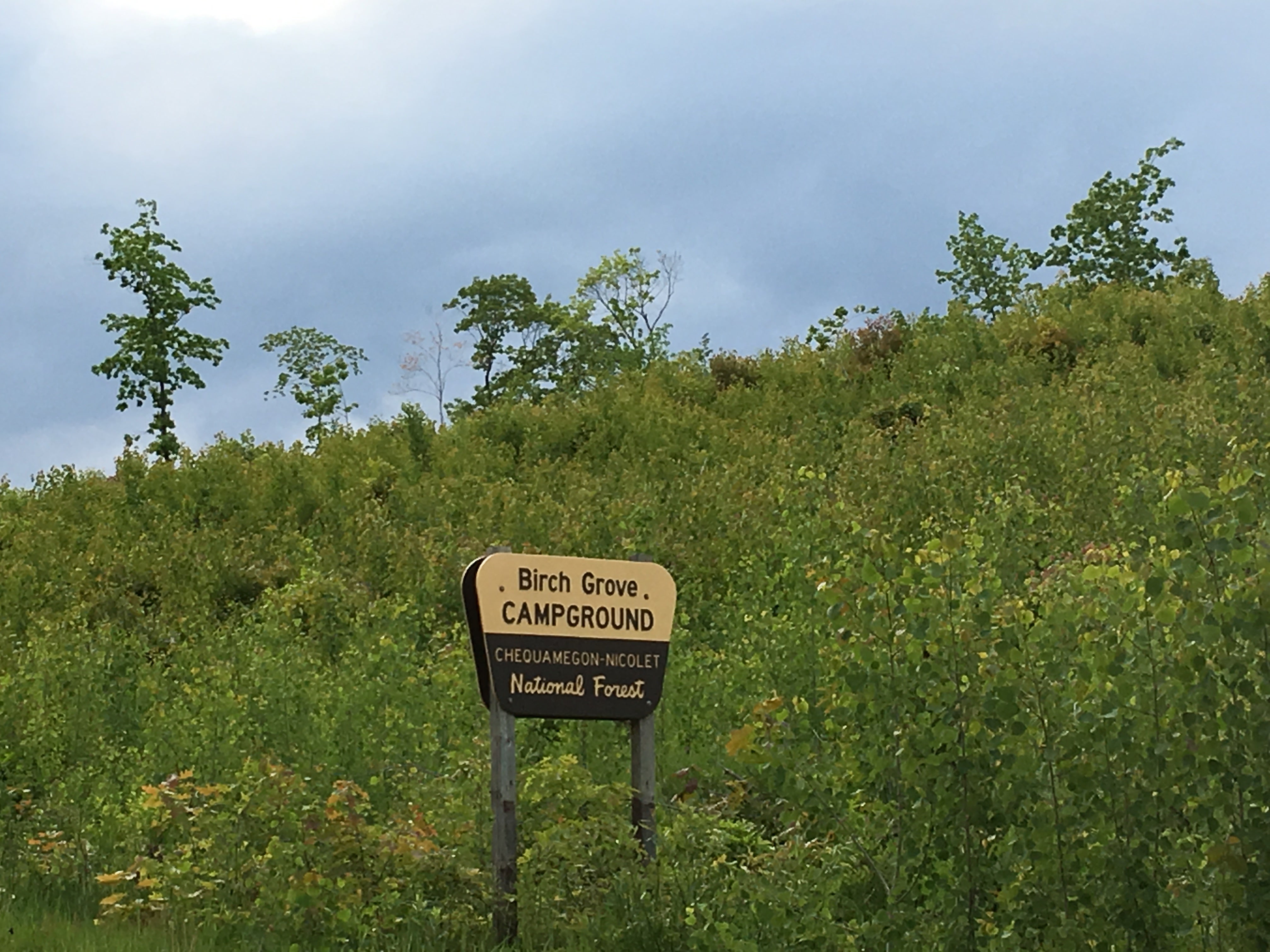
Established Camping
Birch Grove Campground
About
National Forest
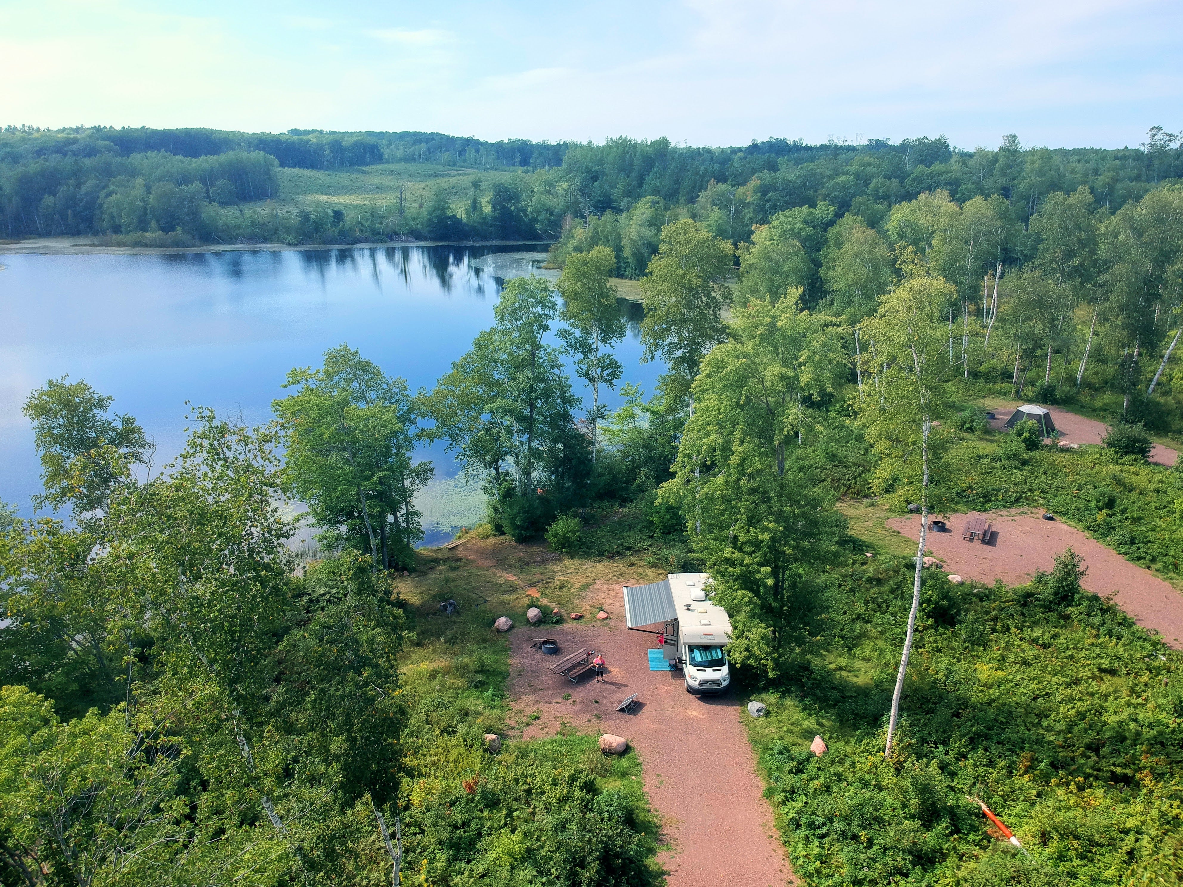
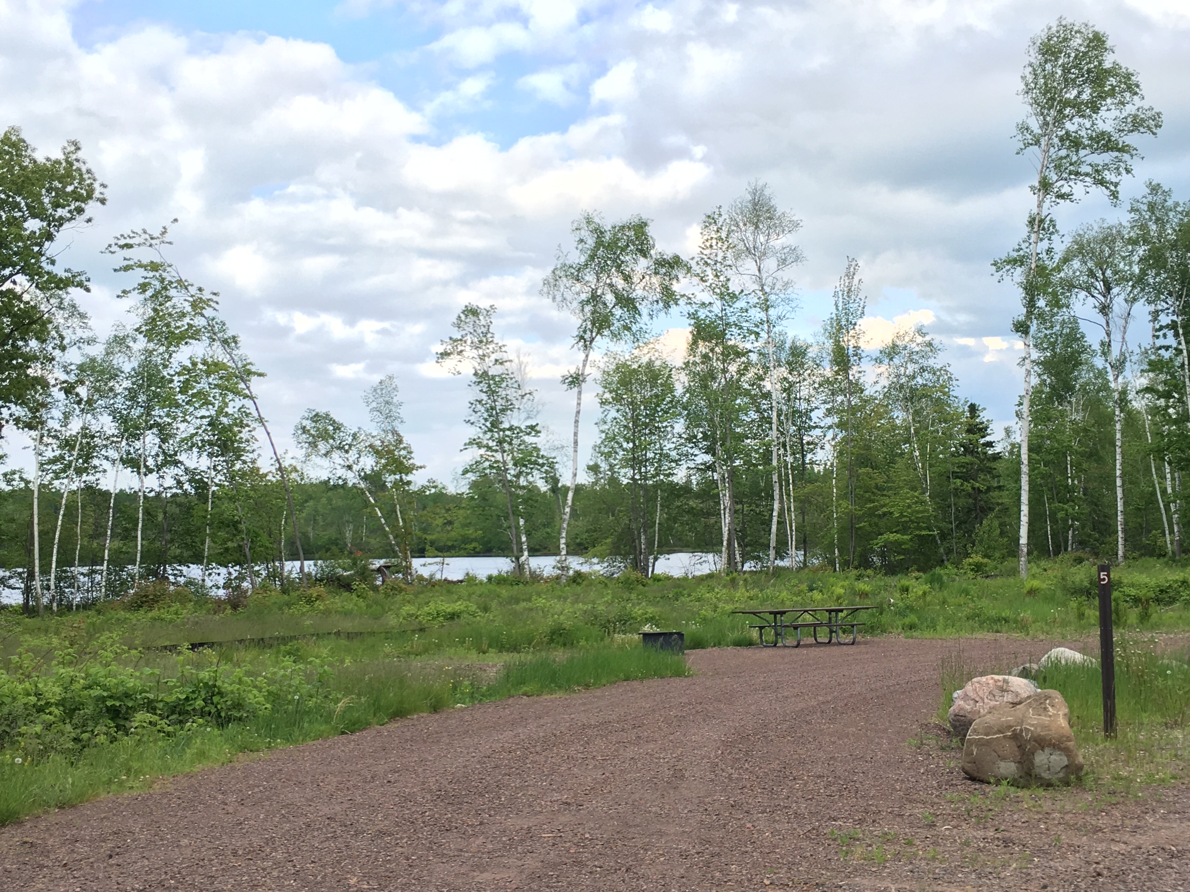
Each campsite has a defined parking spur, fire ring, picnic table, some have a tent pad and can accommodate RV's up to 35 feet. Drinking water, vault toilets and small picnic area are available.
RV Camping Some sites can accommodate RV's up to 35 feet. Campsites include a defined parking spur, fire ring, picnic table, and some have a tent pad. Drinking water and vault toilets are available.
Birch Grove Recreation Area is a family favorite if you are looking for a base camp to explore the Bayfield Peninsula. It is nestled between 22-acre East and 16-acre West Twin Lakes and is close to the community of Washburn. Each lake has a small boat access and includes bass, panfish and northern pike. During the late summer berry picking is a popular activity in the nearby Moquah Barrens.
Each campsite has a defined parking spur, fire ring, picnic table and some have a tent pad and can accommodate RV's up to 35 feet. Drinking water, vault toilets and a small picnic area are available. There are also areas where campers can access the lake for swimming.
This campground is near Long Lake Recreation Area which has a swimming beach, trail and carry-in boat access. Valhalla Recreation Area is also nearby that has more than 20 miles of hiking and biking trails during the summer months.
So, if you like to boat, fish or picnic then the Birch Grove Recreation Area is the place for you, conveniently located just 8 miles west of Washburn.
Location
Birch Grove Campground is located in Wisconsin
Directions
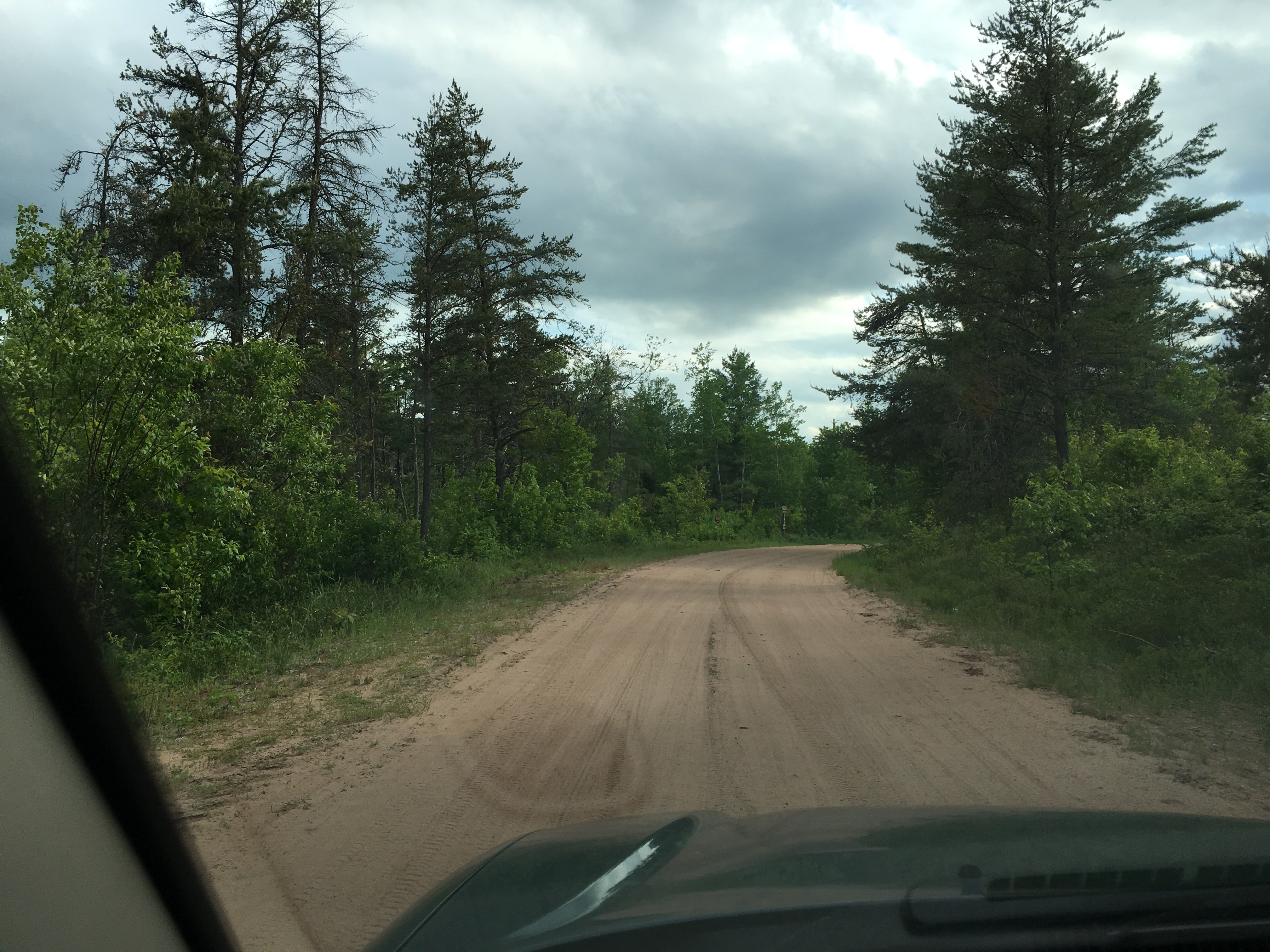
From Washburn, WI, take State Rt. 13 south for 0.8 miles to Wannebo Rd. Turn right onto Wannebo Rd. and go west for 7.3 miles to campground sign (Forest Rt. 252). Turn right onto Forest Rt. 252 and go north for 1.9 miles to campground sign (Forest Rt. 435). Turn right onto Rt. 435 and proceed to campground.
Coordinates
46.68567286080459 N
91.06089867792835 W
Access
Stay Connected
- WiFiUnknown
- VerizonUnknown
- AT&TUnknown
- T-MobileGood
Site Types
- Tent Sites
- RV Sites
Features
For Campers
- Trash
- Picnic Table
- Reservable
- Pets
- Fires
For Vehicles
- Pull-Through Sites

