Free Camping Collection
Dispersed Camping
Muddy Mountains
About
Bureau of Land Management
Lake Mead National Recreation Area
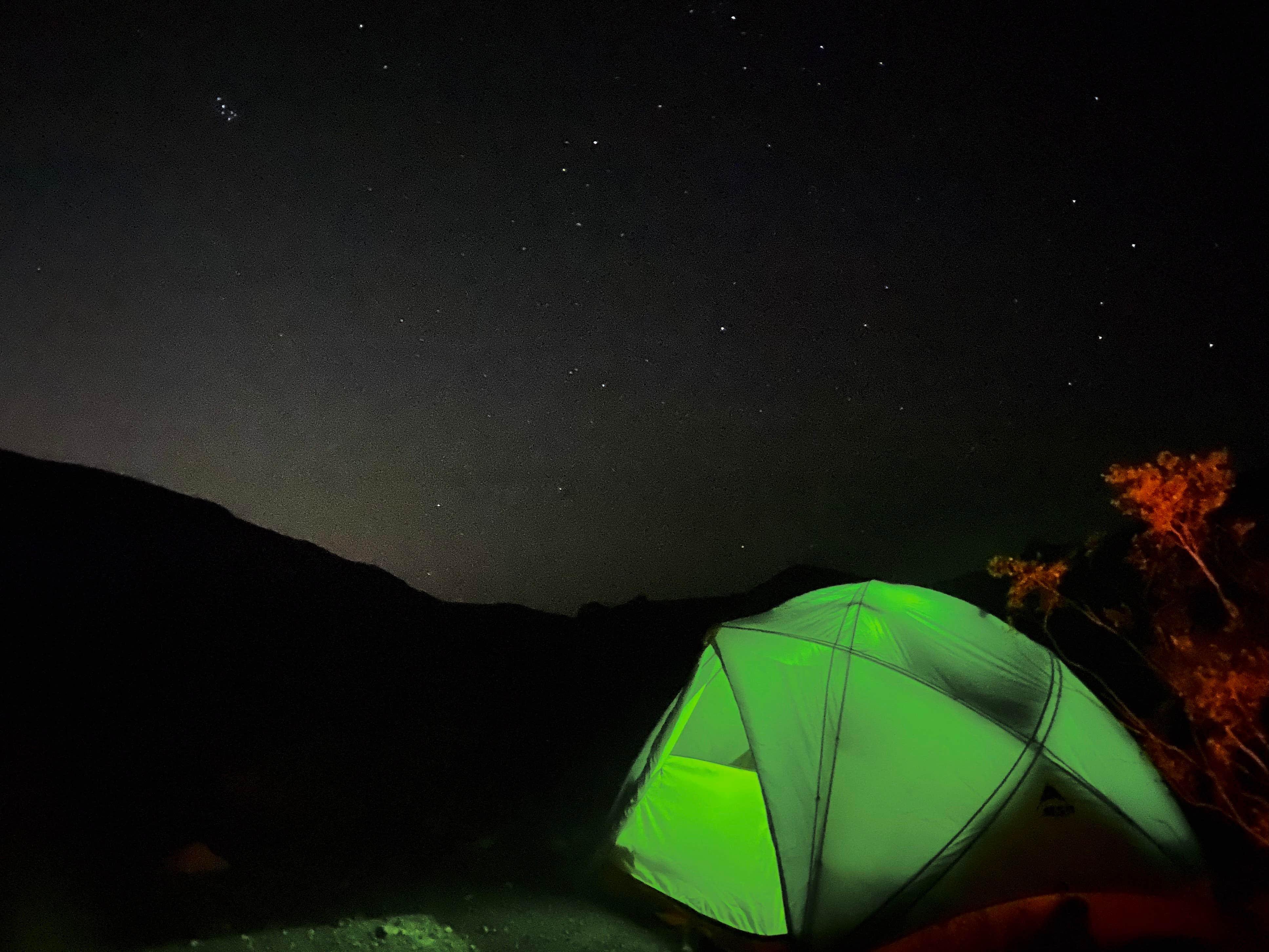
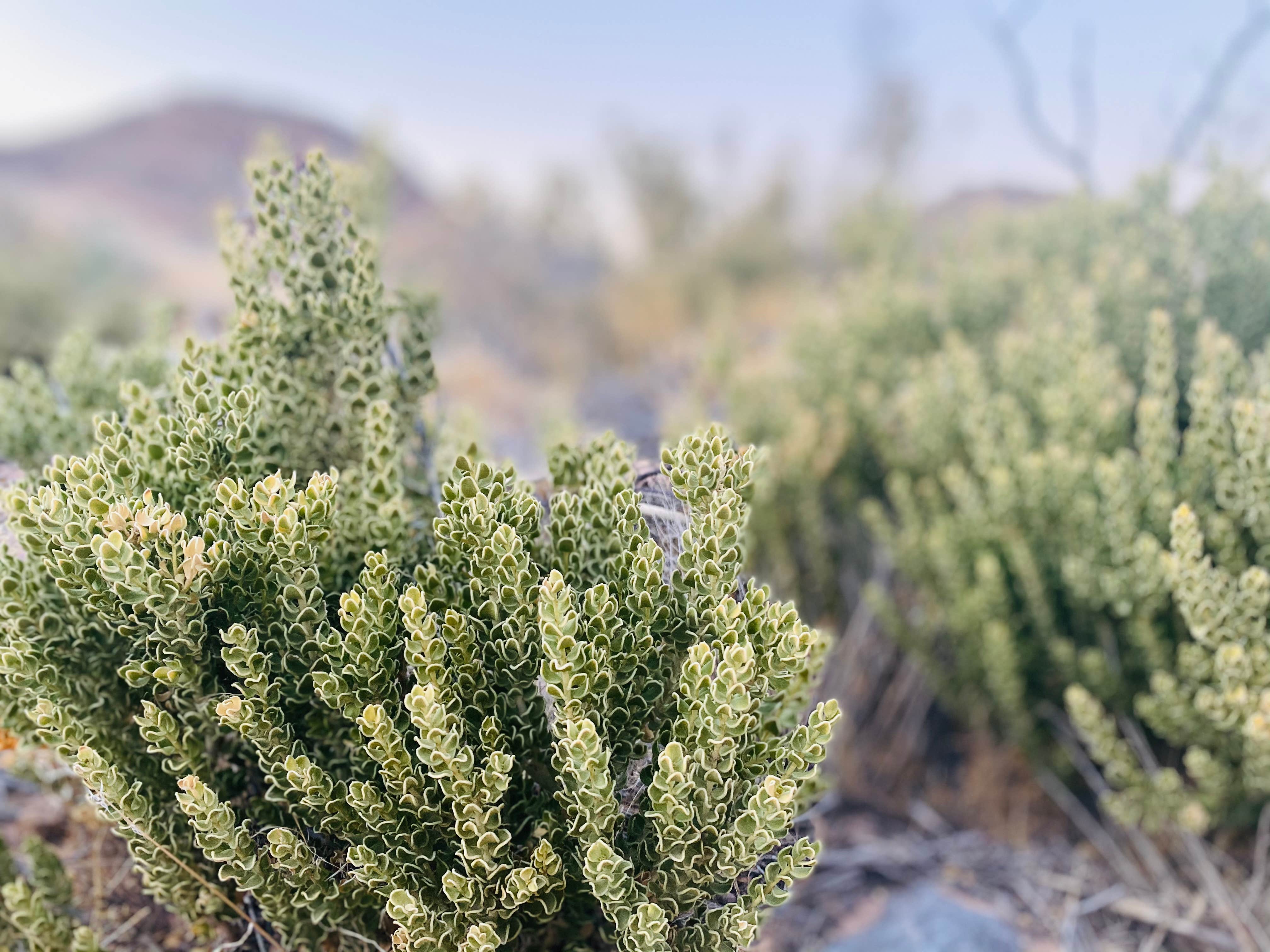
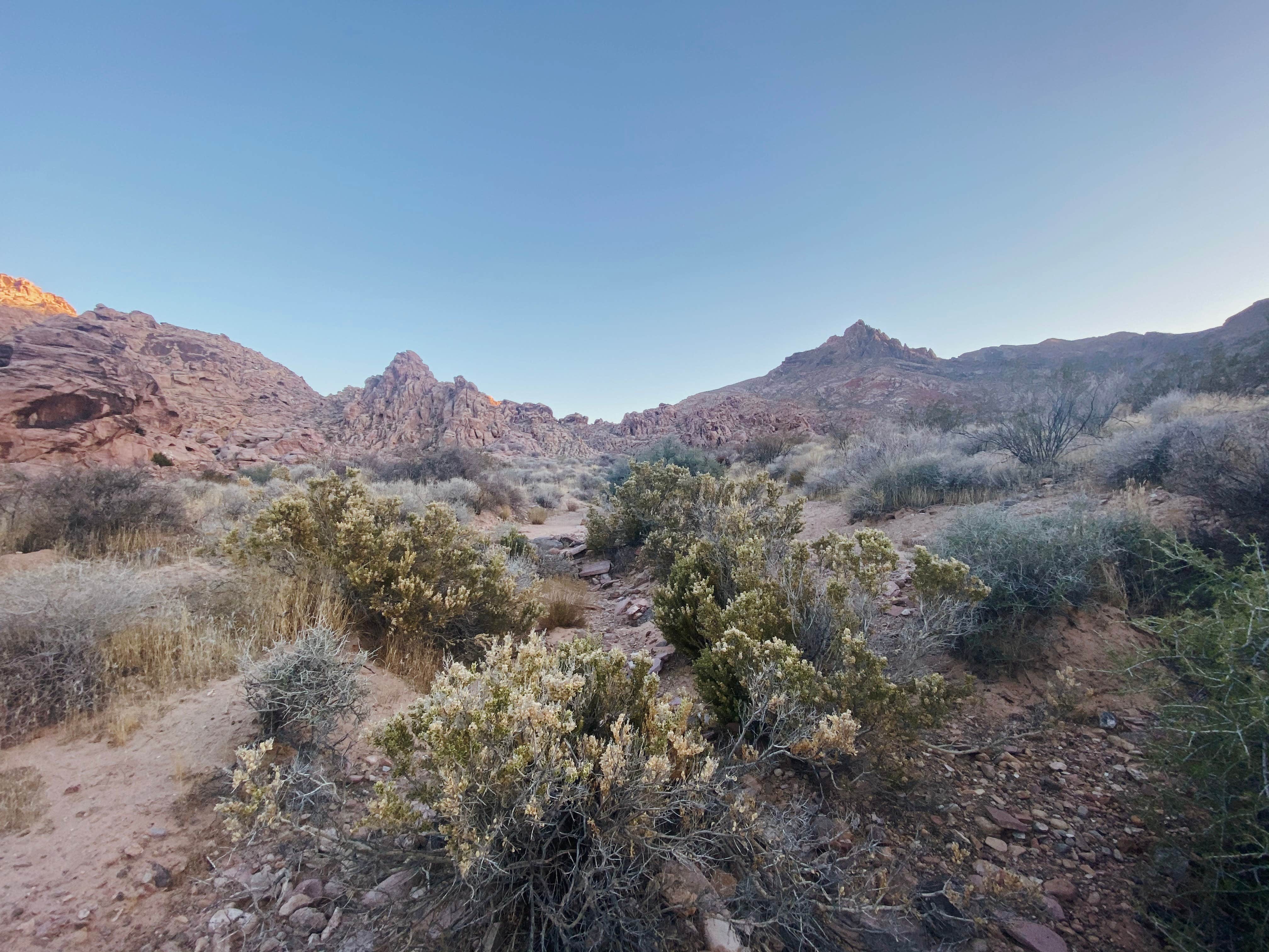
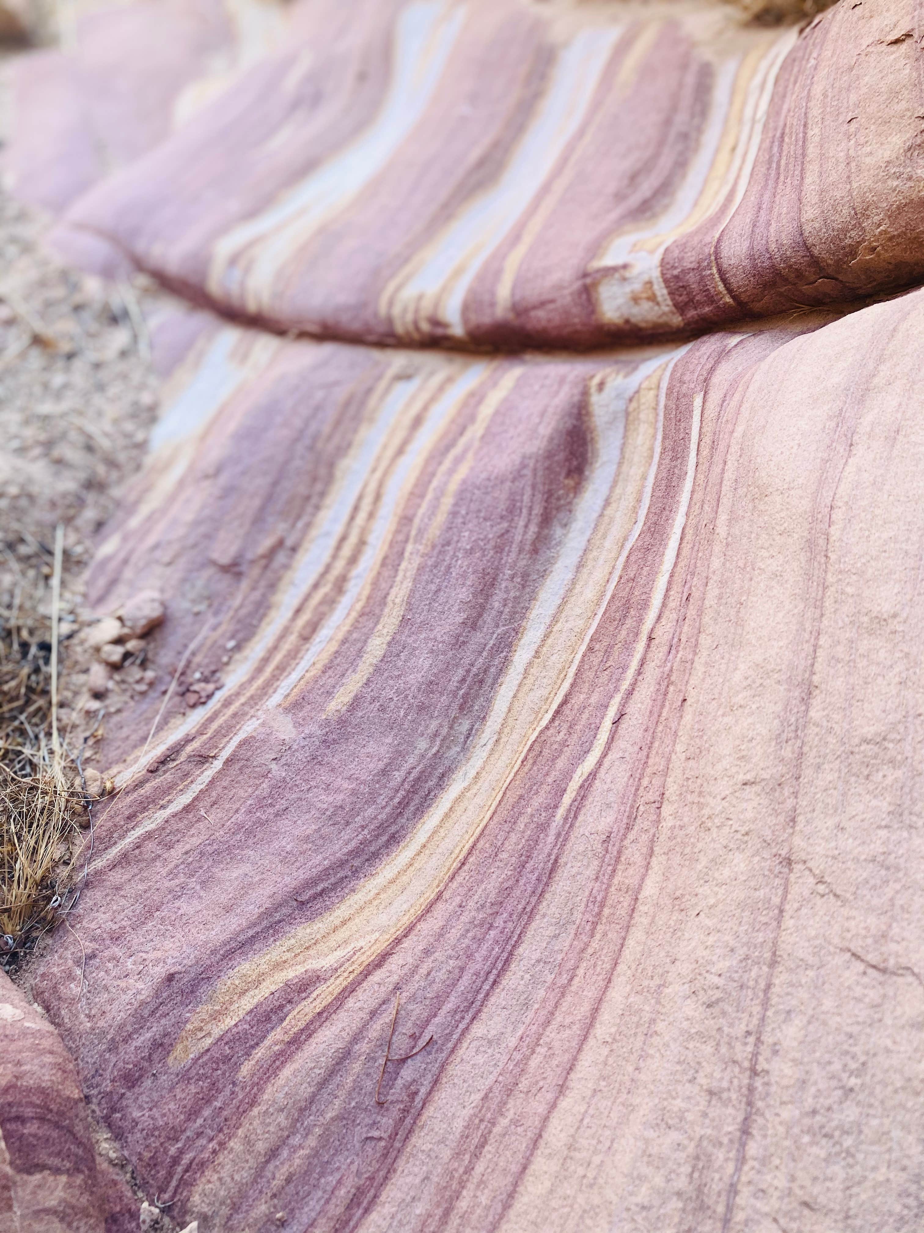
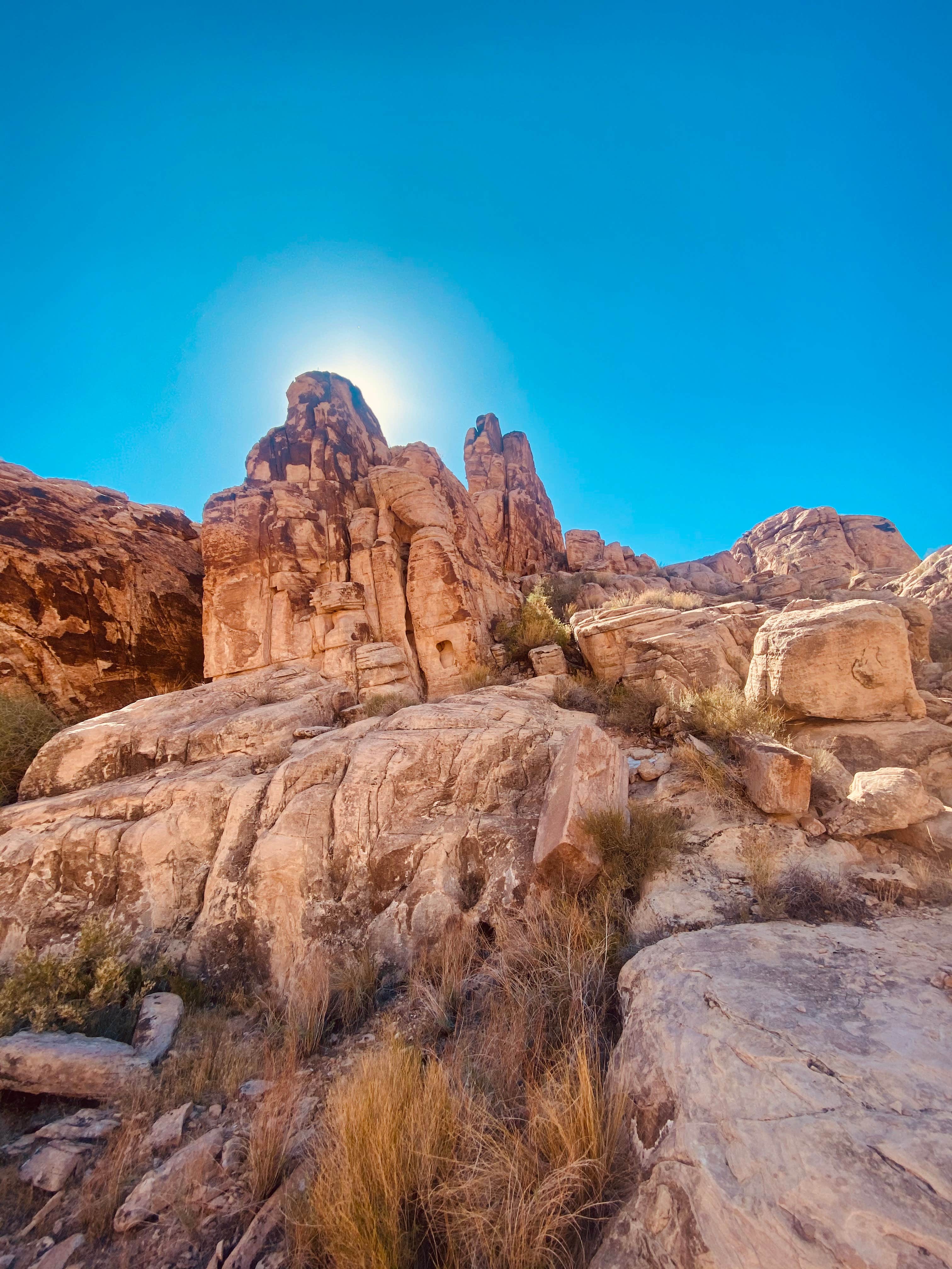
This region of shadowy slot canyons, mind-bending geological formations and expansive views of Lake Mead is jointly administered by the National Park Service and the Bureau of Land Management. Solitude and silence are common throughout the 3,521 acres of narrow canyons and gravelly washes found inside Lake Mead NRA. The landscape here displays a thriving Mojave Desert habitat of creosote bush, black brush, yucca, Joshua tree and desert willow. Watch for bighorn sheep, the banded Gila monster and the desert tortoise.
Reservation Info
• No camping is allowed within sight of trials, and half a mile from National Park Service designated roads. • No camping is allowed within 300 feet of water sources. • Recommended maximum group size: 12 members. • Camping is limited to a total of 14 days in one location, and no more than 90 days total within any consecutive 12-month period. • Stock cannot be restrained within 200 feet of water. • Campfires are allowed, except during regional fire restrictions, with use of a fire pan or blanket. Visitors are encouraged to only use camp stoves.
Location
Muddy Mountains is located in Nevada
Directions
Hidden valley may be accessed by driving the Bitter Springs Backcountry Byway about 3 miles east on the Valley of Fire Highway from Interstate 15. About four miles south of the Valley of Fire Highway on this rough dirt road, turn right at the sign for Color Rock Quarry. About 3 miles further lies the trailhead for Hidden Valley. Four-wheel drive and high clearance vehicles are recommended. The Bowl of Fire and Anniversary Narrows are accessible from the paved Northshore Road. Calville Road turns north at mile marker 16, so be on the lookout for that. Four-wheel drive is recommended here, too.
Coordinates
36.309649682493365 N
114.7146474150667 W
Access
- Drive-InPark next to your site
- Walk-InPark in a lot, walk to your site.
Stay Connected
- WiFiUnknown
- VerizonUnknown
- AT&TUnknown
- T-MobileUnknown
Site Types
- Dispersed
Features
For Campers
- Pets
- Fires

