Established Camping
SE Flat Tops Area
About
USDA Forest Service
The SE Flat Tops Area is north of Dotsero and I-70, and is primarily accessed by Forest Service Roads heading northwest off of the Colorado River Road between Dotsero and Burns. This area is part of the Eagle-Holy Cross Ranger District.
Location
SE Flat Tops Area is located in Colorado
Coordinates
39.73966621 N
107.223129 W
Access
- Walk-InPark in a lot, walk to your site.
Stay Connected
- WiFiUnknown
- VerizonUnknown
- AT&TUnknown
- T-MobileUnknown
Site Types
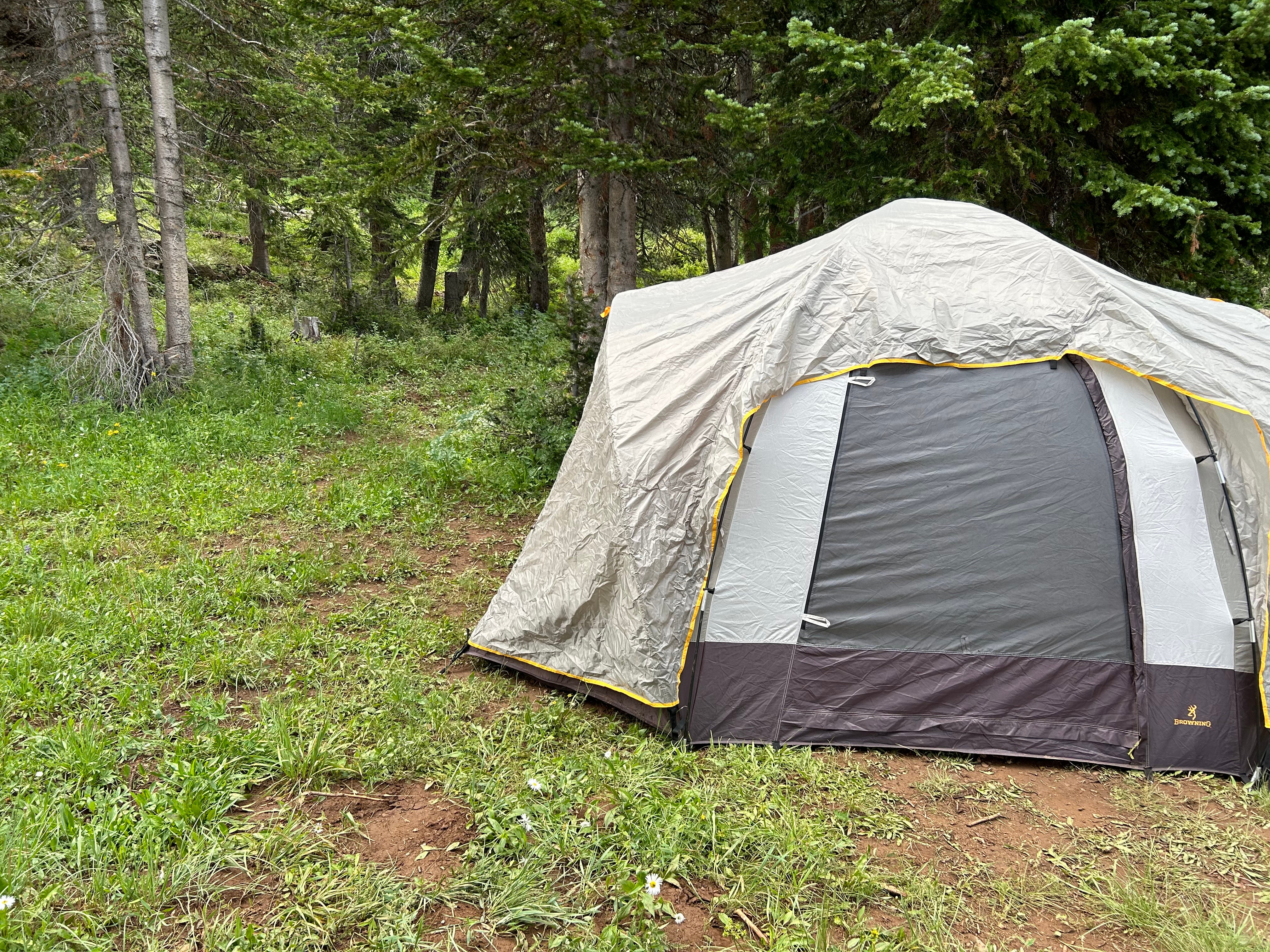
- Tent Sites
- Dispersed
- Group
Features
For Campers
- Alcohol


