Free Camping Collection
Established Camping
Wolf Gap
About
National Forest
George Washington & Jefferson National Forest
Overview
This location is available on a first-come, first-served basis only. Visitors are required to physically arrive at the campground to purchase and claim a site. Once on-site, you may be able to pay for your campsite(s) by scanning a QR code using the Recreation.gov mobile app, and the Scan and Pay feature. If this option is available, you will need to first download the free Recreation.gov mobile app https://www.recreation.gov/mobile-app prior to your arrival as some remote areas have limited or no cellular service.
Access
- Drive-InPark next to your site
- Walk-InPark in a lot, walk to your site.
Stay Connected
- WiFiUnknown
- VerizonPoor
- AT&TFair
- T-MobilePoor
Site Types
- Tent Sites
- RV Sites
- Standard (Tent/RV)
Features
For Campers
- ADA Access
- Trash
- Phone Service
- Toilets
For Vehicles
- Sanitary Dump
Absolutely perfect
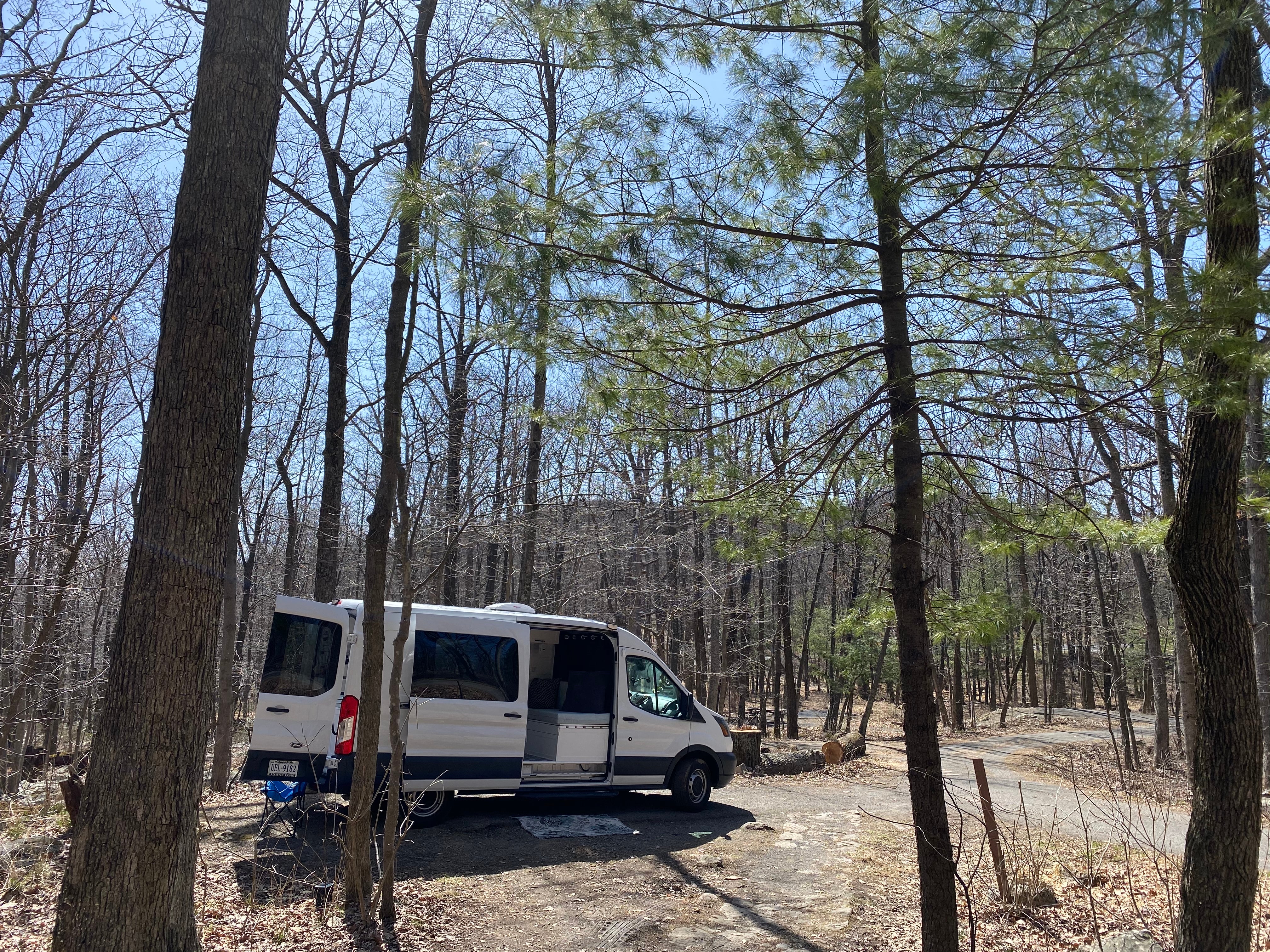
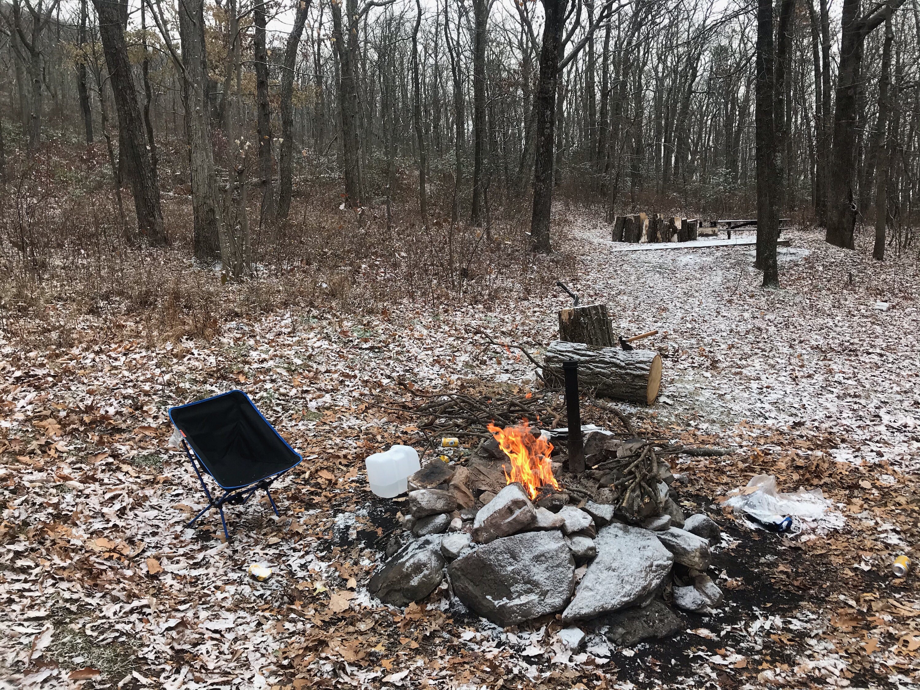
Camp sights are close together but bathroom are close to all. You fill out a card completely free camping you van stay 14 days out of a 30 day time period. Picnic table at camp 6 which I think is the best!
Didn't Feel Safe as a Solo Female
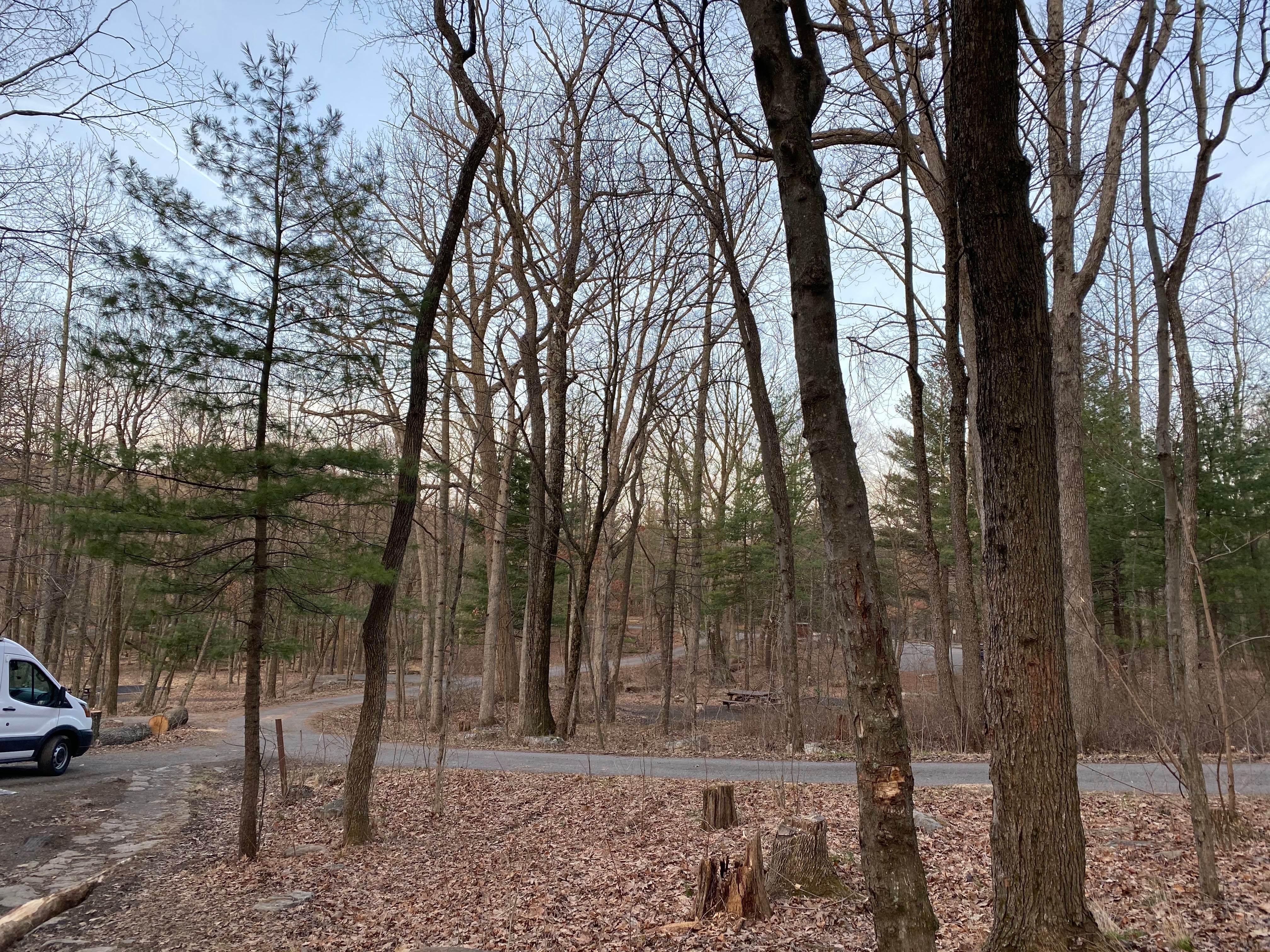
I stopped here on my last night of a 30 day RT trek from RI to CA. It is a USFS campground above I-81 that straddles the VA/WV line. The drive is back-woodsy and populated in a rural way (homes on the road). Once you hit the steeper climb, there are some switchbacks and narrow areas that would not be at all fun in an RV. The campground itself is in a bit of disrepair although the tent pads looked fine. Being on a hill, most of them are terraced. The rock steps to them seemed in good shape. It was difficult to find level parking though, if you want to sleep in your vehicle.
After finding a spot, I moseyed over to the check in board and read about some of the people staying there (you leave a card with your information, and how long you are staying). One of the cards indicated that the man who wrote it was perhaps a little "off" as he was thankful that "the noise police left today." Hmmmm. I looked at the rest. All of them were staying for 30 days. I saw one young man getting in his truck . . but I didn't see anyone else. It was very quiet.
I noted that there was one narrow loop and lots of trees in the way of any off-road egress. It seemed to me that I could easily be blocked into my campsite. As a small solo female, I decided to play it safe and went back down the hill and found the Elizabeth Furnace Family Campground on the other side of 81, which was perfect.
One other note: the USFS had put a note on the board indicating that they were in the process of initiating a charge a $14 fee to stay at the CG to raise money for maintenance purposes. They were taking public comments.
Really nice spot, but hard to get there w/ a big vehicle
My husband and I took our Chevy G 10 van and we had plenty of space to park, plenty of privacy, and access to a bathroom. However, the road to get here was a little bit treacherous for a vehicle so big. RVs beware
Location
Wolf Gap is located in West Virginia
Directions
Directions: From I-81: Take exit 279. Turn west on SR 675. Drive 3.5 miles to STOP sign at VA 42. Turn right, and take next left to continue on SR 675. Drive 3.1 miles to a fork in the road. Stay right, on SR 675, and drive another 3.4 miles to the top of the mountain. The entrance is on your right.
Coordinates
38.924544 N
78.689088 W

