Overview
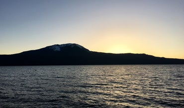
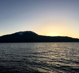
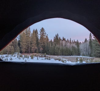
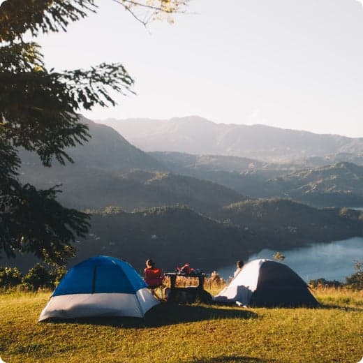
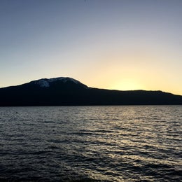
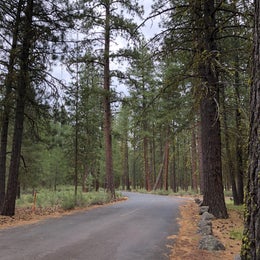
Meandering along most of the east shore of the mile-high Diamond Lake, this large campground boasts spectacular views of both Mount Bailey and Mount Thielsen, and offers visitors abundant recreational opportunities.
Recreation
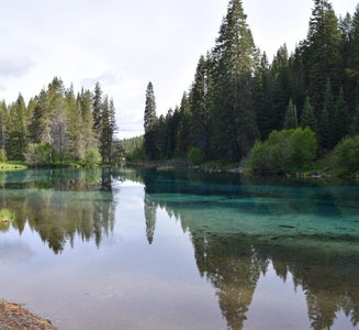
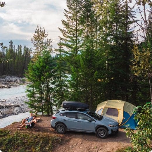
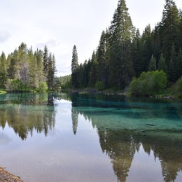
At an elevation of 5,183 feet, Diamond Lake provides outdoor enthusiasts with a multitude of recreational opportunities year-round. The area offers a scenic backdrop for swimmers braving its cold, refreshing waters, and anglers casting a lines from boat or shoreline. Rainbow trout thrive in the lake, as it is stocked annually with 300,000 fingerlings. Bicyclists will enjoy riding on the 11-miles of paved trail around the lake, while hikers can head out for the day on one of many trails leaving from the area. Interpretive programs are offered on Saturday evenings at the campground amphitheater.
Facilities
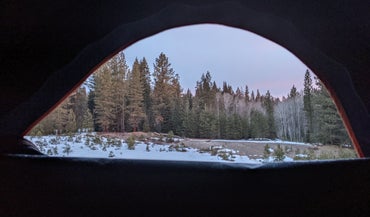
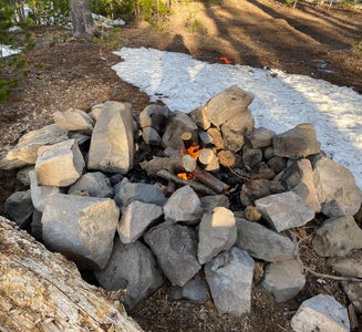
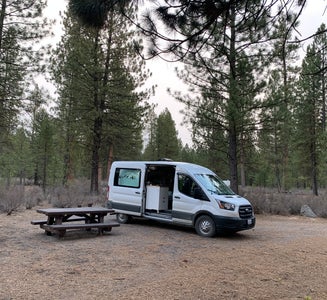
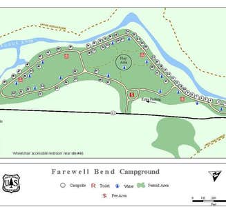
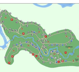
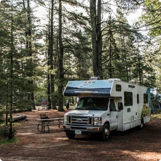
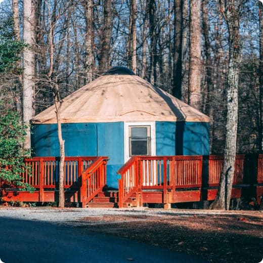
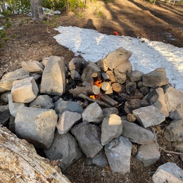
This large campground has 238 sites, including double and standard sites, able to accommodate tents, RVs and trailers; All sites are available by reservation only. Sites are equipped with picnic tables, campfire rings, grills, drinking water and flush toilets. Access to Diamond Lake is within walking distance, and boat ramps and fish cleaning stations are accessible to visitors. The gatehouse is staffed daily from 8 a.m. to 6 p.m., and campground hosts are on-site to answer questions.
Natural Features
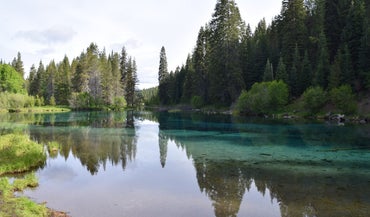
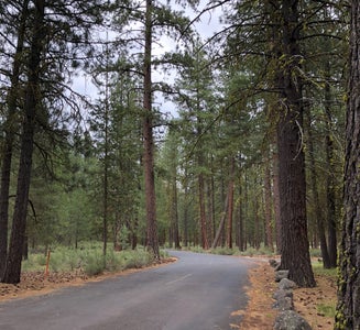
Explosive geologic events have shaped the distinctive landscape on the 984,602-acre Umpqua National Forest, and the area provides spectacular scenery as well as an abundance of natural and cultural resources. The translation of the word, "Umpqua," meaning "thundering waters," defines the area. High mountain lakes, heart-stopping rapids, peaceful ponds and thundering waterfalls, including the 272-foot Watson Falls on the North Umpqua Highway, are available to visitors. Several designated wilderness areas provide opportunities undisturbed solitude. Encompassing 19,100 acres, Boulder Creek Wilderness is an incredible landscape, with dense old growth forests and steep terrain that tower above Boulder Creek. The most popular area in Boulder Creek is Pine Bench. This flat area overlooking Boulder Creek is home to a grove of old growth Ponderosa pines. Diverse ecosystems support a wide range of habitat for wildlife common to the area. From eagles and owls, to salamanders and salmon, these species, along with many others, depend on surrounding undeveloped wilderness, clean streams, and diverse forests to live.
Nearby Attractions
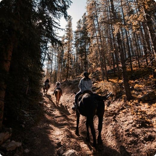
Access to Diamond Lake is within walking distance, and boat ramps and fish cleaning stations are accessible to visitors. A nearby resort offers bicycle, boat and horse rentals as well as lodging, restaurants, a grocery store, laundry facilities and fuel. Trails for hiking and mountain biking are within 10 miles of the campground. Visitors may want to take some time to visit nearby Crater Lake National Park, the only national park in Oregon! The amazing Crater Lake area offers a glimpse into the volcanic history of the area. The Pacific Crest Trail (PCT), one of the world's premier National Scenic Trails, showcases some of North America's most fantastic scenery, winding its way its way from Mexico to Canada through California, Oregon and Washington, and is accessible near the campground.