Free Camping Collection
Dispersed Camping
Birkhead Mountain Wilderness Area Dispersed
About
USDA Forest Service
Disperse camping is allowed in the Birkhead Mountains Wilderness. Camp at least 200 feet from all streams, creeks, roads and wildlife fields. When using fire rings, please disperse the ring before leaving camp. Use of cook stoves is highly recommended. Firewood is available as dead and down in the forest, please do not cut live trees for firewood. Also hunting is allowed in this area, orange would be advisable to wear during the hunting seasons, when hiking the trails.
Please pack all trash out with you when you leave. No mountain bikes or ATV's are allowed within the Wilderness area.
No permenant camps are allowed in the Wilderness area. Camping is allowed for a 14 day period with in a 30 day time frame. Dogs are allowed as long as they are on a leash and kept under control.
Fee Info
None
Reservation Info
None
Access
- Walk-InPark in a lot, walk to your site.
- Hike-InBackcountry sites.
Stay Connected
- WiFiUnknown
- VerizonUnknown
- AT&TUnknown
- T-MobileUnknown
Site Types
- Dispersed
Features
For Campers
- Pets
- Fires
Excellent
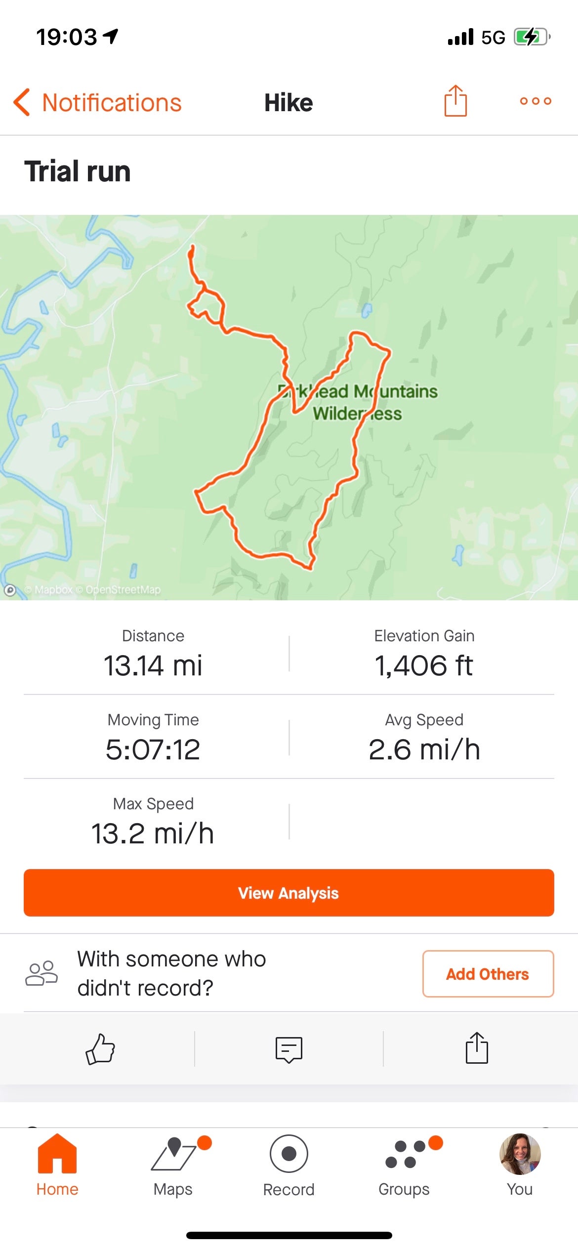
Very nice trails. Well maintained. Not marked the best... signs at intersections. Plenty of creeks. Hike in for dispersed camping.
Location
Birkhead Mountain Wilderness Area Dispersed is located in North Carolina
Directions
Parking: Parking is available at Tot Hill Trailhead, Thornburg Trailhead and Robbins Branch Trailhead.
Coordinates
35.575474 N
79.972372 W


