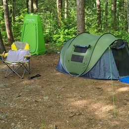
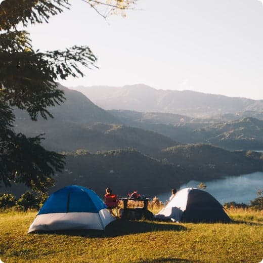
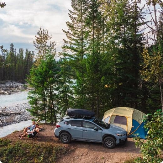
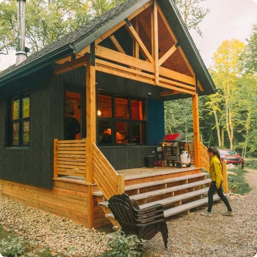
Top Dispersed Camping near Fort Oglethorpe, GA
Looking for the best dispersed camping near Fort Oglethorpe? The Dyrt can help you find the best dispersed campsites for your next trip. Find the perfect dispersed campsite for your next adventure.
Looking for the best dispersed camping near Fort Oglethorpe? The Dyrt can help you find the best dispersed campsites for your next trip. Find the perfect dispersed campsite for your next adventure.
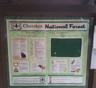
Camping is permitted at the Hunter's Check Station Camping area and the Davis Pond Camping area on a first-come, first-served basis. These primitive campsites have no sanitation facilities. Campers at the Davis Pond Camping area are required to be in the campsite by sunset and must remain in the campsite until sunrise. No in-or-out privileges with the exception of emergency purposes.
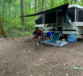
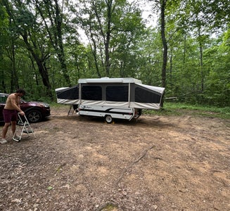
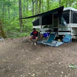
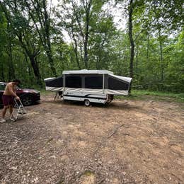
Lost Creek Campground is located along the banks of Big Lost Creek. This primitive campground offers remote camping and is surrounded by dense forest and creeks. Lost Creek Campground is open year round. Sites are filled on a first-come, first-served basis. While staying at Lost Creek, campers can enjoy fishing in Big Lost Creek (note: special regulations are in effect for fishing in Big Lost Creek).
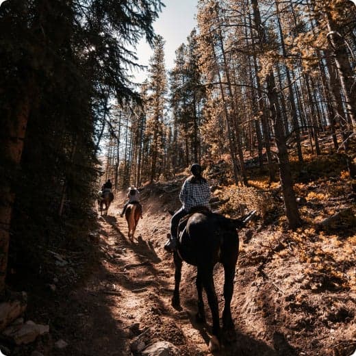
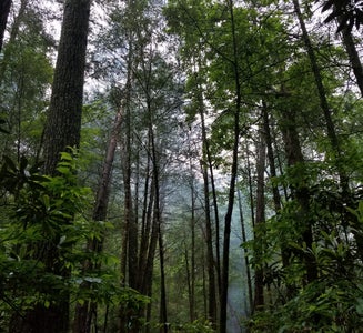
The 37,000 acre Cohutta Wilderness contains 90 miles of hiking and backpacking trails, two of which follow the Jacks and Conasauga Rivers. Trailhead parking lots located around the wilderness perimeter provide foot access to the trails. Three Forks, Betty Gap, Chestnut Lead and Tearbritches Trailheads are open early March through December 31 each year due to winter road closures. The trails associated with these parking areas remain open, but must accessed from alternate trailheads. Some trails are open to horses. A map of the Cohutta/Big Frog Wilderness is available for $5, showing trails, topography, parking lots and access roads (purchase of map is strongly recommended). Hikers and backpackers should leave a detailed trip plan with someone expecting their return since cell service is unpredictable in this mountainous area.

Camping is permitted at the Hunter's Check Station Camping area and the Davis Pond Camping area on a first-come, first-served basis. These primitive campsites have no sanitation facilities. Campers at the Davis Pond Camping area are required to be in the campsite by sunset and must remain in the campsite until sunrise. No in-or-out privileges with the exception of emergency purposes.
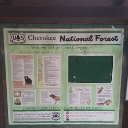
Lost Creek Campground is located along the banks of Big Lost Creek. This primitive campground offers remote camping and is surrounded by dense forest and creeks. Lost Creek Campground is open year round. Sites are filled on a first-come, first-served basis. While staying at Lost Creek, campers can enjoy fishing in Big Lost Creek (note: special regulations are in effect for fishing in Big Lost Creek).
The 37,000 acre Cohutta Wilderness contains 90 miles of hiking and backpacking trails, two of which follow the Jacks and Conasauga Rivers. Trailhead parking lots located around the wilderness perimeter provide foot access to the trails. Three Forks, Betty Gap, Chestnut Lead and Tearbritches Trailheads are open early March through December 31 each year due to winter road closures. The trails associated with these parking areas remain open, but must accessed from alternate trailheads. Some trails are open to horses. A map of the Cohutta/Big Frog Wilderness is available for $5, showing trails, topography, parking lots and access roads (purchase of map is strongly recommended). Hikers and backpackers should leave a detailed trip plan with someone expecting their return since cell service is unpredictable in this mountainous area.