Campground photo 1
Campground photo 2
Campground photo 3

Top Dispersed Camping near Lone Tree, CO

374 Reviews

Searching for a dispersed camping spot near Lone Tree? Here you'll find a diverse selection of places to camp, including remote dispersed camping to boondocking, and everything in-between. From secluded to easily reachable, we offer dispersed campsites near Lone Tree just for you.

Best Dispersed Camping Sites Near Lone Tree, CO (62)

  1. Camper-submitted photo from Buffalo Creek Recreation Area

    1.

    Buffalo Creek Recreation Area

    20 Reviews
    74 Photos
    1290 Saves
    Buffalo Creek, Colorado

    The Buffalo Creek Recreation Area contains over 50 miles of multi-use, non-motorized trails that tie into the Colorado Trail in several places. There are numerous options available for riding or hiking. Some of the old logging roads provide two-track while connecting trails offer single track. It takes about an 1.5 hours to drive to this area from Denver. Please know and respect local area restrictions including; parking and camping in designated sites only. Developed camping is available at nearby Forest Service campgrounds including Buffalo, Green Mountain, Kelsey, and Meadows Group Campground.

    • Pets
    • Phone Service
    • Reservable
    • ADA Access
    • Dispersed
    • Toilets
  2. Camper-submitted photo from Mount Herman Road Dispersed Camping

    2.

    Mount Herman Road Dispersed Camping

    25 Reviews
    72 Photos
    972 Saves
    Monument, Colorado

    Part of Pike and San Isabel National Forests Cimarron and Comanche National Grasslands. Mount Herman Trail begins at a small parking area on a switchback on Mount Herman Road. This trail provides a 2-mile one-way hike to the summit of Mt. Herman.

    • Pets
    • Fires
    • Phone Service
    • Dispersed
    • Firewood Available
    • Alcohol
  3. Camper-submitted photo from Dakan Road Dispersed Camping

    3.

    Dakan Road Dispersed Camping

    9 Reviews
    35 Photos
    554 Saves
    Larkspur, Colorado

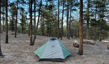
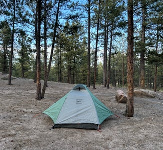
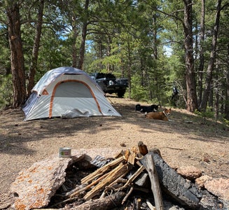
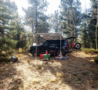
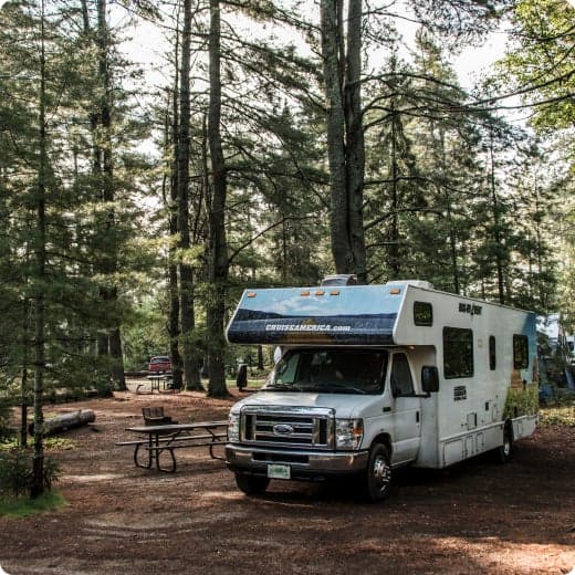
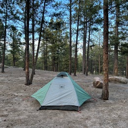
    Dispersed camping and parking is allowed in designated sites only on the South Platte Ranger District. Designated sites are posted with "Parking" and "Tent" symbols.

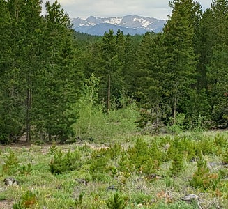
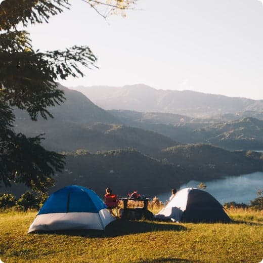
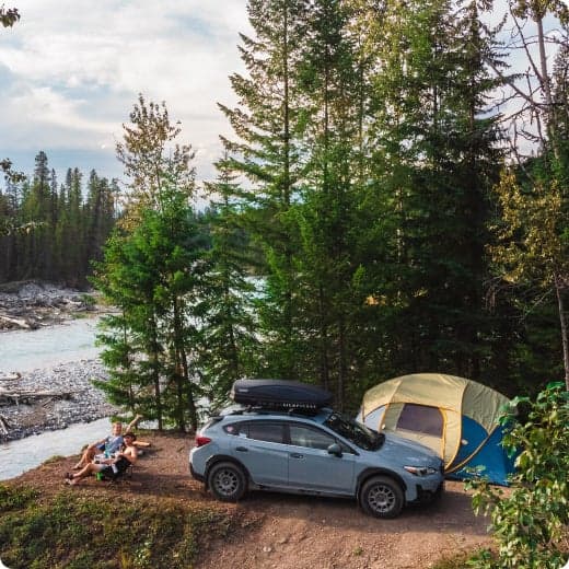
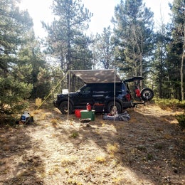
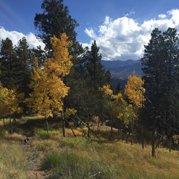
    Dispersed camping is primitive, undeveloped, frontcountry "car camping". Several areas across the District allow dispersed camping, however certain areas are closed to overnight camping and allow for day use activites only.

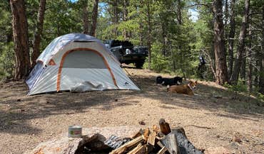
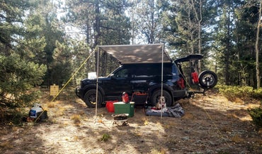
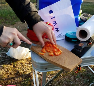
    Remember: when dispersed camping, no toilets, trash service, or potable water, are available. Store all food and trash securely, and pack out what you pack in. Please practice Leave No Trace.

    Designated dispersed camping is located along NFSR 300, 502, 507, and 563.

    Please observe these requirements when dispersed camping:

    Plan your trip; phone ahead for restrictions and special regulations. ​Dispersed camping and parking is allowed in designated sites only. Do not create resource damage by driving off-road, beyond designated parking locations, or behind barriers. Parking should be within 30' of site markers. Developed sites, including trailheads and picnic areas, are closed to overnight camping and allow for day use activities only. Tread lightly, and avoid trampling sensitive vegetation. Locate your camp at least 100' from any water source. Use catholes to properly dispose of human and pet waste; bury waste in a cathole at least 6-8" deep and 200’ from any water source. Packing out human and pet waste using self-contained waste disposal systems is encouraged. 
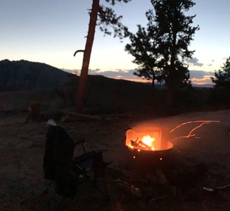
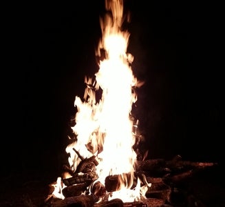
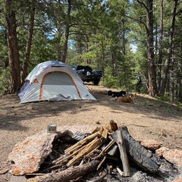
Campfires are allowed at overnight sites as long as fire restrictions aren’t in place. You may gather small amounts of down, dead wood for a campfire. Use existing fire rings; keep your campfire small and always make sure it is completely extinguished before leaving. No campfires outside of designated overnight sites. BEARS and other wildlife When you go to the mountains and forest, you are in bear county. Do not leave ANY food, trash or other animal attractant unattended. Store all food and trash securely and pack out what you pack in. Failing to do so can result in a fine. Be aware that where not otherwise restricted, camping or leaving camping equipment at any location more than 14 days within a continuous 30 day period, and/or occupying any campsite within three miles of any prior camping or equipment location for a combined total of more than 28 days within any continuous 60 day period, is prohibited. Also, leaving camping equipment unattended for more than 24 hours is not allowed. Discharging a firearm is prohibited within 150 yards of a residence, building, campsite, developed recreation site, or occupied area; or across or on a National Forest System road or a body of water, or in any manner or place whereby any person or property is exposed to injury or damage as a result of such discharge.

    • Pets
    • Fires
    • Dispersed
    • Alcohol
  4. Camper-submitted photo from Gordon Gulch Dispersed Area

    4.

    Gordon Gulch Dispersed Area

    42 Reviews
    81 Photos
    1043 Saves
    Nederland, Colorado

    Five miles north of Nederland, National Forest System Road (NFSR) 226, commonly known as Gordon Gulch, turns east off of Colorado Highway 72. NFSR 226 intersects other forest roads: NFSR 314, 228, 233 and their off-shoots. There are 15 numbered, designated campsites scattered along the road system within 1.5 miles east of Highway 72. Camping is permitted in designated sites only. Take care when driving in this area. Snow and mud can persist through most of the year. The free Boulder Ranger District Motor Vehicle Use Map displays National Forest System (NFS) routes open to motorized travel and is available online and at the Boulder Ranger District offfice.

    Streams; treat water for drinking.

    • Pets
    • Fires
    • Phone Service
    • Tents
    • Group
    • Standard (Tent/RV)
  5. Camper-submitted photo from Cascade-Chipita Park/Woodland Park

    5.

    Cascade-Chipita Park/Woodland Park

    18 Reviews
    75 Photos
    522 Saves
    Green Mountain Falls, Colorado

    Primitive camping off Rampart Range Road. Some fire rings.

    • Pets
    • Fires
    • Phone Service
    • ADA Access
    • Dispersed
    • Alcohol
  6. Camper-submitted photo from West Magnolia Campground

    6.

    West Magnolia Campground

    20 Reviews
    43 Photos
    937 Saves
    Nederland, Colorado

    West Magnolia Trailhead provides access to eight miles of singletrack trails for hiking, biking and horseback riding west of the Peak-to-Peak Highway south of Nederland. An additional eight miles of Forest Roads are open seasonally (check the Road Status Table before your visit) to motorized and non-motorized activities. Along these roadways are designated campsites. Camping is allowed within 50 feet of the campsite markers. There are no facilities of any kind. The free Boulder Ranger District Motor Vehicle Use Map  displays National Forest System (NFS) routes open to motorized travel and is available online and at the Boulder Ranger District offfice. Recreational shooting closures exist in this area. Click here for more information.

    • Pets
    • Fires
    • Phone Service
    • Dispersed
  7. Camper-submitted photo from Rampart Range Road - Dispersed Camping
  8. Camper-submitted photo from Matukat Road Dispersed Camping
  9. Camper-submitted photo from Rainbow Falls - Dispersed  Camping

    9.

    Rainbow Falls - Dispersed Camping

    7 Reviews
    10 Photos
    303 Saves
    Woodland Park, Colorado

    The Rainbow Falls area offers many motorized roads and trails for four-wheel drive and off-highway vehicle (OHV) enthusiasts. This area contains several motorized trails open to motor vehicles 50 inches, or less, in overall width. The roads and trails in this area connect to the North Rampart Range OHV riding area as well. The North Rampart Range riding area is managed by the South Platte Ranger District. Be sure to consult with the Motor Vehicle Use Map (MVUM) for offical Forest Service routes that are open to motorized vehicles. Free Motor Vehicle Use Maps (MVUMs) are available at your local Forest Service Ranger District office. Please pick up a MVUM before you head out. These maps identify the designated Forest Service roads, and the designated motorized trails, that are open to motorized use. They also and identify what types of vehicles are allowed on the different types of routes that are displayed on the MVUM.

    • Pets
    • Fires
    • Phone Service
    • Reservable
    • Dispersed
    • Picnic Table
  10. Camper-submitted photo from Dream Canyon Campsites - Dispersed Camping

    10.

    Dream Canyon Campsites - Dispersed Camping

    16 Reviews
    18 Photos
    970 Saves
    Nederland, Colorado

    NOTE: Campers who build any fires face fines up to $5,000 and/or up to six months imprisonment for open fire violations.

    Leave No Trace must be observed, as in any outdoor space.

    In any season this area is prone to very strong dry winds that can pick up a hot coal from a campfire that has lain dormant for as much as three days and ignite dry vegetation, causing horrific devastation. People from outside Colorado may not understand how tinder dry this area can be. 197 homes in this area have been destroyed by wildfires. All of these fires were started by humans.

    Local residents overlook this area and if they see visible flame or smoke they will call the Boulder County sheriff. Any campers who require a campfire are recommended to disperse camp near Sugarloaf Mountain where fires are permitted.

    • Pets
    • Tents
    • Dispersed
    • Alcohol

Popular Camping Styles near Lone Tree

Pet-friendly camping near Lone Tree

Recent Dispersed Reviews In Lone Tree

374 Reviews of 62 Lone Tree Campgrounds