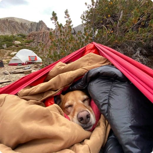
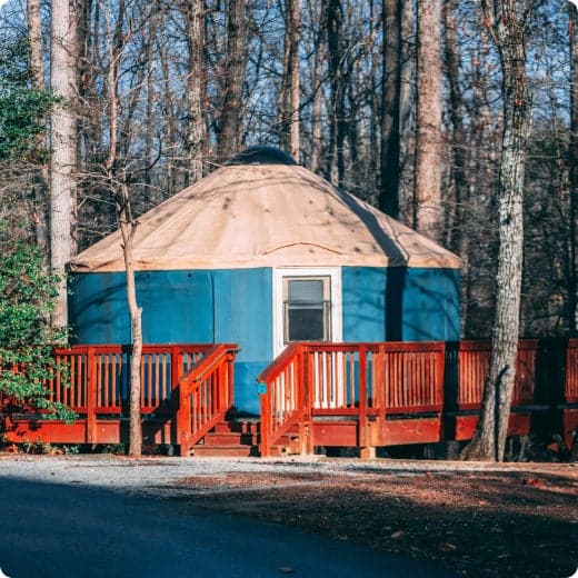
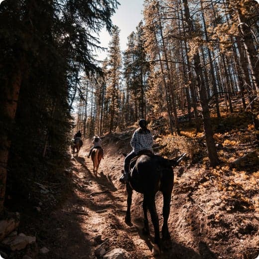
Campground photo 1
Campground photo 2
Campground photo 3

Top Dispersed Camping near Bond, CO

220 Reviews

Looking for dispersed camping near Bond? Here you'll find a diverse selection of places to camp, including remote dispersed camping to boondocking, and everything in-between. Whether you're looking for a quiet location in the trees or wide open spaces, The Dyrt makes it easy to find the perfect dispersed campsite.

Best Dispersed Camping Sites Near Bond, CO (84)

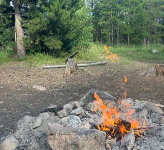
  1. Camper-submitted photo from Williams Fork Reservoir
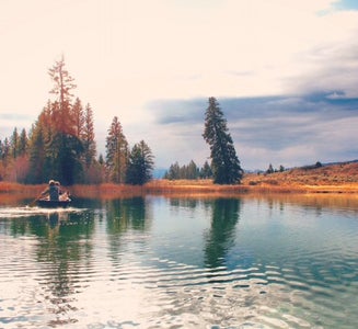
  2. Camper-submitted photo from Red Sandstone - Primitive Dispersed

    2.

    Red Sandstone - Primitive Dispersed

    7 Reviews
    9 Photos
    389 Saves
    Vail, Colorado

    There are many dispersed camping opportunities on the forest ranging from backpacking to car-camping along designated Forest Roads. Visitors are encouraged to minimize resource impacts by utilizing established sites rather than creating new ones. Dispersed camping sites along Forest Roads are shown on Motor Vehicle Use Maps, which are available free of charge at ranger district offices.

    Visitors are permitted to drive vehicles up to 300 feet from designated routes for purposes of dispersed camping as long as no resource damage is incurred in the process. Dispersed camping within 100 feet of lakes, streams, and forest system trails is prohibited unless otherwise designated. Campers may stay for a maximum of 14 days. Some areas may have additional special restrictions.

    This dirt road begins at the paved Red Sandstone Road near Vail and ends at either Piney Lake or Hwy 131 north of Wolcott: This road gets heavy vehicle traffic and also a fair number of mountain bike riders, so please share the road. The climb is gradual and steady, and all but the very lowest of passenger cars can handle this relatively easy dirt road. The road winds its way up along Red Sandstone Creek and then Indian Creek with occasional views south over Vail Mountain, before reaching its high point near the trailhead for Lost Lake Trail. Here you can choose to head west toward Muddy Pass and Hwy 131, or head toward Piney Lake as your destination. Enjoy the peace and beauty here or take a hike up the Upper Piney River Trail, but remember that the lake is surrounded by the Eagles Nest Wilderness and is closed to bikes.

    • Pets
    • Fires
    • Tents
    • Group
    • Standard (Tent/RV)
    • Dispersed
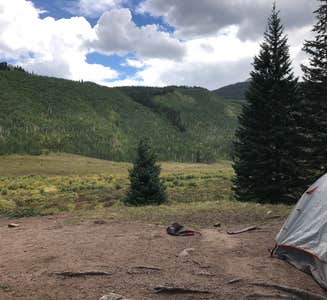
  3. Camper-submitted photo from Rock Creek Designated Dispersed Camping

    3.

    Rock Creek Designated Dispersed Camping

    11 Reviews
    17 Photos
    442 Saves
    Silverthorne, Colorado

    Designated Dispersed Camping Area along Forest Service Road 1350 has 24 sites. **Please note: Camping is ONLY allowed in areas designated by a sign. ** Camping in undesignated spots could result in a citation from the U.S. Forest Service. Not adhering to camping duration maximums or using U.S. Forest land for residential purposes could result in a citation from the U.S. Forest Service.

    Please refer to special orders and contact the USFS Offices with questions: https://www.fs.usda.gov/Internet/FSE_DOCUMENTS/fseprd842796.pdf

    Regulations pertaining to designated dispersed camping are as follows:

    1. Camp only in designated sites.

    2. No camping at trailheads.

    3. Food and garbage must be properly secured in bear-resistant containers or inside vehicles in sealed containers.

    4. Pack out all waste: human, garbage, paper, organics, etc.

    There are many dispersed camping opportunities in the forest ranging from backpacking to car-camping along designated Forest Roads. Visitors are encouraged to minimize resource impacts by utilizing established sites rather than creating new ones. Dispersed camping sites along Forest Roads are shown on Motor Vehicle Use Maps, which are available free of charge at ranger district offices.

    • Pets
    • Fires
    • Phone Service
    • RVs
    • Tents
    • Standard (Tent/RV)
  4. Camper-submitted photo from Blue Lake Camp

    4.

    Blue Lake Camp

    2 Reviews
    9 Photos
    82 Saves
    Eagle, Colorado

    The Castle Peak Wilderness Study Area is a semi-primitive backcountry area with no facilities. There is no motorized or mechanized use within the WSA to help preserve erosive soils, wildlife, scenic values, water quality and cultural resources.

    • Tents
    • Standard (Tent/RV)
  5. Camper-submitted photo from Yeoman Park

    5.

    Yeoman Park

    6 Reviews
    16 Photos
    155 Saves
    White River National Forest, Colorado

    ** Due to recent drought conditions, bear activity has been increasing. For this reason a "food storage order" is in effect at the Yeoman Park Campground, requiring all food and refuse to be stored in hard-sided vehicles or approved bear-resistant containers, or supended at least 10 feet clear of the ground at all points and four feet horizontally from any supporting tree or pole. This order has been issued to provide for public safety and wildlife conservation. Hopefully it will reduce wildlife habituation problems. ** At an elevation of 9,000 feet, Yeoman Park Campground is located on the edge of a wetland meadow near Brush Creek and is partly within a mature spruce forest. There are beautiful views of Craig peak (11,902 ft). Yeoman Park campground has 24 campsites with picnic tables, fire ring grills and 11 sites have tent platforms; 15 of the sites are within a forested area while the other 9 are in the open. Eighteen sites can accommodate RV's 15-30 feet long and 6 sites have room for vehicles longer than 30 ft. Part of the campground has been redesigned to accommodate visitors with disabilities. Two campsites, one on either side of the accessible vault toilets in Loop A, are equipped with a modified picnic table and a low fire grill. There is also a fishing platform on Brush Creek near the park entrance. Yeoman Park is a good place to view an extensive beaver colony. There are many opportunities to watch small mammals such as tree and ground squirrels and to see birds of prey like the red-tailed hawk. The Yeoman Park Discovery Trail (200 yards) is accessible to those who have disabilities. There are interpretive signs encouraging visitors to use their senses to experience the nature of Yeoman Park. The Lake Charles Trail #1899 (5.35 miles) begins near the Fulford Cave Campground and goes into the Holy Cross Wilderness. From this trail you can also connect with Ironedge Trail #1873. Fulford Cave Trail #1875, will take you to the entrance of Fulford Cave. A visit to the historic mining town of Fulford is just a few miles up Forest Road 418. Foundations of an old Civilian Conservation Corps camp built in the 1930's can be seen in the meadow northwest of the campground. View a printable Recreation Quicksheet (.pdf) for this campground.

    • Pets
    • Fires
    • Phone Service
    • ADA Access
    • RVs
    • Tents

    $8 / night

  6. Camper-submitted photo from Boreas Pass Road Designated Dispersed Camping

    6.

    Boreas Pass Road Designated Dispersed Camping

    26 Reviews
    63 Photos
    1617 Saves
    Blue River, Colorado

    This designated dispersed camping area along County Road 10 has 23 sites.

    **Please note: Camping is ONLY allowed in areas designated by a sign. ** Camping in undesignated spots could result in a citation from the U.S. Forest Service. Not adhering to camping duration maximums or using U.S. Forest land for residential purposes could result in a citation from the U.S. Forest Service.

    Please refer to special orders and contact the USFS Offices with questions: https://www.fs.usda.gov/Internet/FSE_DOCUMENTS/fseprd842796.pdf

    Regulations pertaining to designated dispersed camping are as follows:

    Camp only in designated sites.

    No camping at trailheads.

    Food and garbage must be properly secured in bear-resistant containers or inside vehicles in sealed containers.

    Pack out all waste: human, garbage, paper, organics, etc.

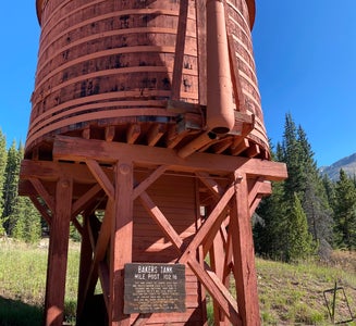
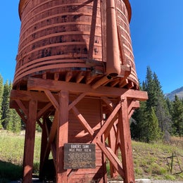
    There are many dispersed camping opportunities in the forest ranging from backpacking to car-camping along designated Forest Roads. Visitors are encouraged to minimize resource impacts by utilizing established sites rather than creating new ones. Dispersed camping sites along Forest Roads are shown on Motor Vehicle Use Maps, which are available free of charge at ranger district offices.At the start of the tour you immediately have spectacular views of the Blue River Valley and the majestic Tenmile Range. The road, managed by Summit County, follows the old South Park and Pacific Railroad bed, climbing on a gradual 3% grade. The road climbs past Bakers Tank to the summit of Boreas Pass at the Continental Divide. The road then continues down the other side of Boreas Pass for another 10.4 miles to the town of Como in Park County. From 1872 to 1938 the road was used as a narrow-gauge railroad and gained fame as the nation’s highest narrow-gauge railroad, running from Como to Breckenridge. This is a great road to view Fall colors. This road is open to highway legal vehicles only during May-October, and closed to motorized vehicle access seasonally at Summit County discretion, generally October to May.

    • Pets
    • Fires
    • Phone Service
    • Tents
    • Group
    • Dispersed
  7. Camper-submitted photo from Ute Pass Dispersed Camping

    7.

    Ute Pass Dispersed Camping

    9 Reviews
    19 Photos
    579 Saves
    Heeney, Colorado
    • Pets
    • Fires
    • Phone Service
    • Tents
    • Standard (Tent/RV)
    • Dispersed
  8. Camper-submitted photo from Columbine Landing Recreation Site

    8.

    Columbine Landing Recreation Site

    7 Reviews
    5 Photos
    107 Saves
    Silverthorne, Colorado

    PLEASE NOTE :: Using US Forest Service Land for extended durations or residential purposes will result in a citation from the US Forest Service. Please adhere to maximum daily camping limits to avoid fines. Campers may stay for a maximum of 14 days. Some areas may have additional special restrictions. Please contact the Ranger station for details on special restrictions. **

    There are no hosts available on-site. In addition, there are no electric, fresh water or dumpsters available. Waste bins in the restroom are meant for restroom-related trash only. PLEASE pack out all camp-related trash with you. Help keep these sites clean, open and available for public use.

    This is located between Silverthorne and Green Mountain Reservoir along Highway 9. It is used primarily for rafting access (take out) on the Blue River but it does have some dispersed campsites and a vault toilet.

    • Pets
    • Fires
    • Phone Service
    • Dispersed
    • Toilets
    • Alcohol
  9. Camper-submitted photo from Medicine Bow-Routt National Forest Road 214 Dispersed
  10. Camper-submitted photo from Bellyache Road

Pet-friendly camping near Bond

Recent Dispersed Reviews In Bond

220 Reviews of 84 Bond Campgrounds