Top Dispersed Camping near Crestone, CO
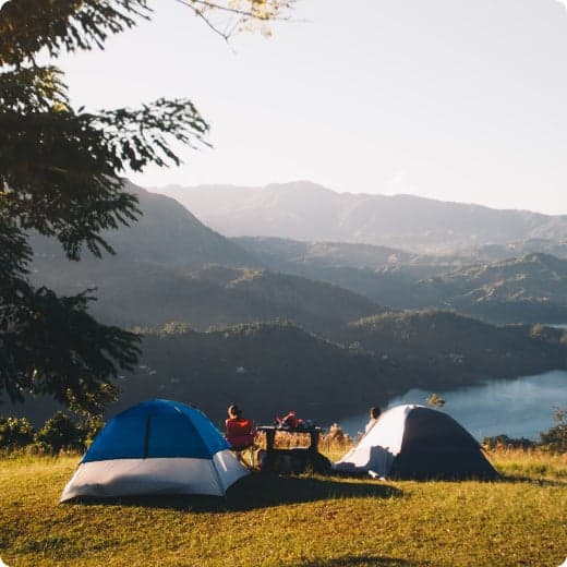
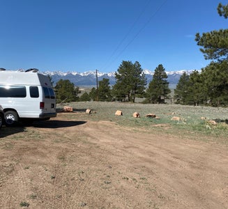
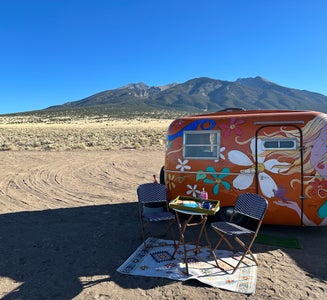
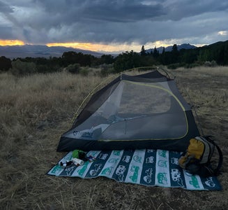
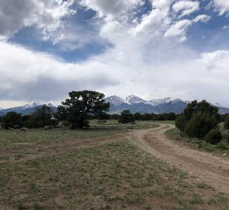
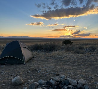
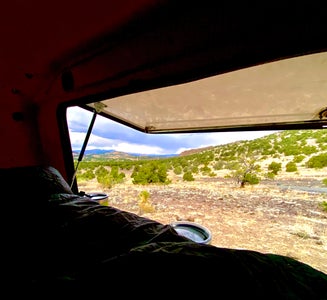
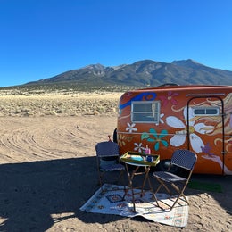
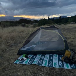
Planning a dispersed camping trip near Crestone? Dispersed camping is an excellent way to get away from it all and to disconnect. You're sure to find the perfect dispersed campsite for your Colorado excursion.
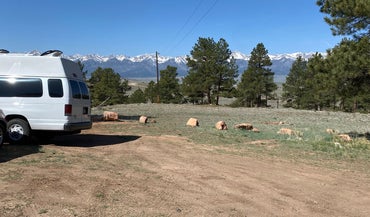
Planning a dispersed camping trip near Crestone? Dispersed camping is an excellent way to get away from it all and to disconnect. You're sure to find the perfect dispersed campsite for your Colorado excursion.
Explore any part of the 30 square mile dunefield you wish; there are no designated trails in the sand. A dunes-accessible wheelchair is available for free loan at the Visitor Center. Summer air temperatures are pleasant at this high elevation, but during afternoon hours the sand surface can reach 150F degrees, and dangerous thunderstorms can develop. Plan to hike the dunes in early morning or evening to avoid heat exhaustion, burned feet, or fatal lightning strikes.
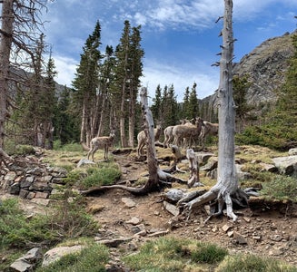
South Colony Basin and the surrounding 14,000-foot peaks offer a broad range of recreational opportunities, including camping, hiking, backpacking, mountaineering, fishing and hunting. This diversity of activities, combined with the natural beauty of the basin and the rough but passable access provided by the road, has made South Colony Basin the most popular destination in the Sangre de Cristo Range. Trailhead register data indicate 3,500 to 4,500 persons (7,000 to 9,000 visitor days) visit the small (1500 acre) upper basin at the head of the South Colony drainage during the summer season. Since 1996, the Forest Service has worked in partnership with Rocky Mountain Field Institute, Colorado Fourteeners Initiative, Colorado Outward Bound, and other educational and environmental service organizations to reconstruct trails and climbing routes within the basin, stabilize eroding alpine slopes (caused by user-created trails), inventory and restore undesirable campsites and social trails. To date, nearly $1,000,000 (of mostly non-federal funds) and 40,000 volunteer hours have been spent restoring long-term recreational impacts, rebuilding the lower road, constructing trailhead facilities and creating sustainable summit trails in South Colony Basin.
The Cotton Creek Trail is 13.1 miles long. It begins at Forest Road 962 and ends at Forest Trail #745. Trail is well marked and maintained. It follow the creek through a rugged, steep canyon and diverse scenery, with views of high peaks and many beautiful wildflowers in season. Some stream crossings can be tricky if water level is high. Attractions are fishing in creeks and lakes, and many good campsites. Teacup Lake presents an opportunity for primitive route finding.
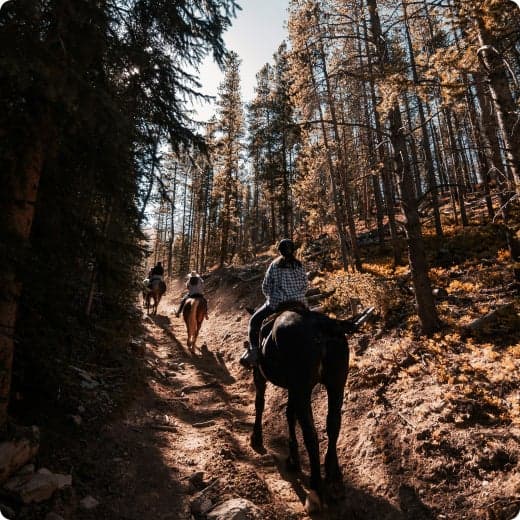
The trail is open for the following uses: Hiking, Backpacking, Horseback Riding, Dispersed Camping, and Wildflower Viewing

South Colony Basin and the surrounding 14,000-foot peaks offer a broad range of recreational opportunities, including camping, hiking, backpacking, mountaineering, fishing and hunting. This diversity of activities, combined with the natural beauty of the basin and the rough but passable access provided by the road, has made South Colony Basin the most popular destination in the Sangre de Cristo Range. Trailhead register data indicate 3,500 to 4,500 persons (7,000 to 9,000 visitor days) visit the small (1500 acre) upper basin at the head of the South Colony drainage during the summer season. Since 1996, the Forest Service has worked in partnership with Rocky Mountain Field Institute, Colorado Fourteeners Initiative, Colorado Outward Bound, and other educational and environmental service organizations to reconstruct trails and climbing routes within the basin, stabilize eroding alpine slopes (caused by user-created trails), inventory and restore undesirable campsites and social trails. To date, nearly $1,000,000 (of mostly non-federal funds) and 40,000 volunteer hours have been spent restoring long-term recreational impacts, rebuilding the lower road, constructing trailhead facilities and creating sustainable summit trails in South Colony Basin.
The Cotton Creek Trail is 13.1 miles long. It begins at Forest Road 962 and ends at Forest Trail #745. Trail is well marked and maintained. It follow the creek through a rugged, steep canyon and diverse scenery, with views of high peaks and many beautiful wildflowers in season. Some stream crossings can be tricky if water level is high. Attractions are fishing in creeks and lakes, and many good campsites. Teacup Lake presents an opportunity for primitive route finding.
The trail is open for the following uses: Hiking, Backpacking, Horseback Riding, Dispersed Camping, and Wildflower Viewing