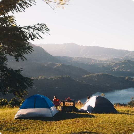
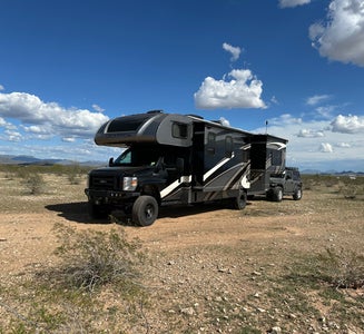
Top Dispersed Camping near Litchfield Park, AZ
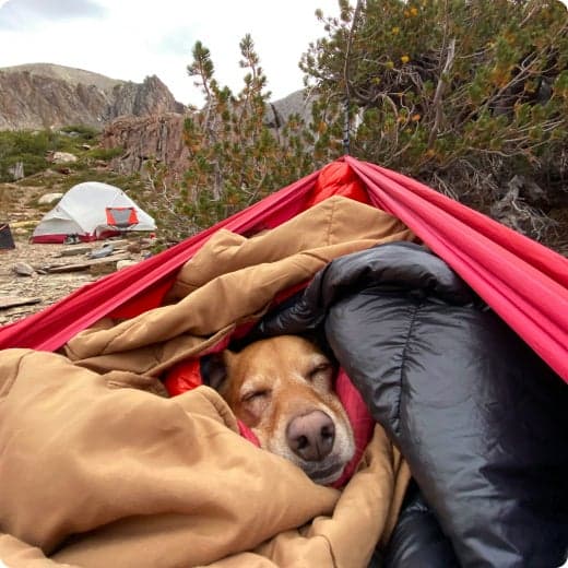
Looking for dispersed camping near Litchfield Park? Dispersed camping is the perfect way to get off the grid. Find dispersed campsites you've visited before, or discover new spots from other campers.

Looking for dispersed camping near Litchfield Park? Dispersed camping is the perfect way to get off the grid. Find dispersed campsites you've visited before, or discover new spots from other campers.
Approximate location. Many sites for primitive camping off W. Courthouse Rd. and W. Salome Rd.
FREE permit required from the Mesa Ranger District office at 5140 E. Ingram St, Mesa, AZ 85205; 480-610-3300. Permits can be requested online or by email. The permit will be emailed to you within 48 hours (except weekends and holidays).
This space is very large so it may be best to divide it by the access points. The point I'll be using is Access #3- Forest Road (FR) 10, south entrance: This access point is reached from Apache Junction. From Mesa: Travel 15 miles east on the Superstition Freeway (US 60) to the Idaho Street exit. Follow Idaho Street north 4½ miles to McKellips. Turn right on McKellips and travel ½ mile to the Wolverine Pass Road and turn left. Follow it for 7/8 mile and turn right on Tonto Road. Travel north on Tonto Road for ¼ mile to Cactus and turn left. Follow Cactus to McDowell Road and follow it to FR 10 gate.

Annual permit needed to recreate an AZ State Trust Lands.

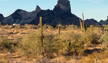
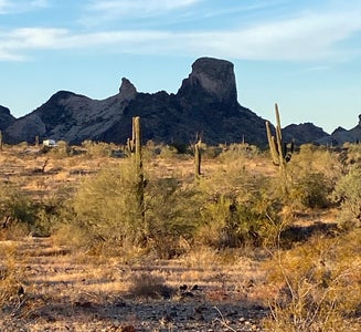
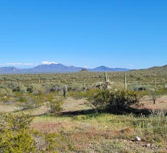
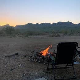
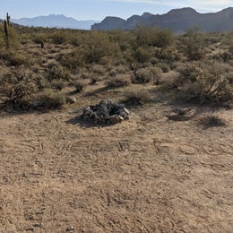
This 63,200-acre wilderness lies in southwestern Maricopa County, 12 miles east of Gila Bend and 20 miles southwest of Phoenix, Arizona. It contains a 10-mile section of the Maricopa Mountains, a low-elevation (1,000 to 2,813 feet) Sonoran Desert range, and extensive surrounding desert plains. The North Maricopa Mountains are a jumble of long ridges and isolated peaks, separated by bajadas and washes. Vegetation includes saguaro, cholla, ocotillo and other Sonoran Desert plant species. Desert bighorn sheep, desert tortoise, coyotes, bobcat, fox, deer, Gambel's quail and raptors inhabit the wilderness.
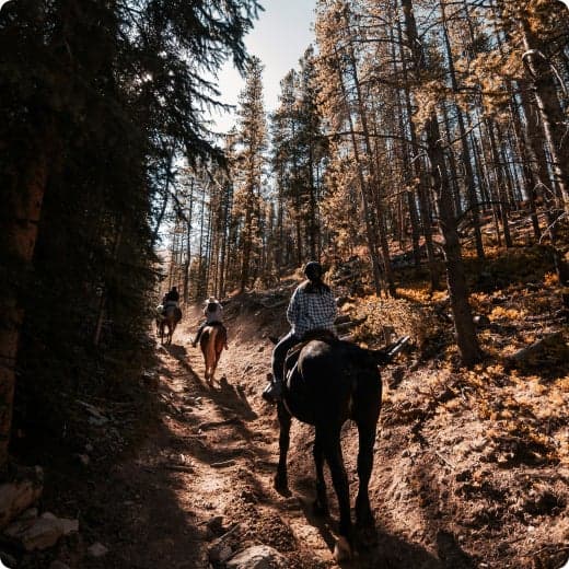
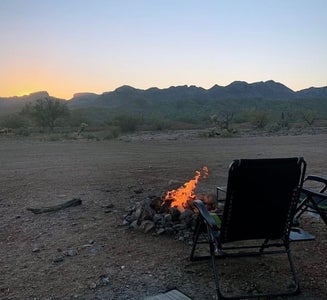
The wilderness provides outstanding opportunities for solitude and primitive recreation, including hiking, backpacking, horseback riding, camping, wildlife observation and photography. The Margie's Cove and Brittlebush Trails take you through the heart of the North Maricopa Mountains Wilderness.
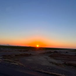
This 63,200-acre wilderness lies in southwestern Maricopa County, 12 miles east of Gila Bend and 20 miles southwest of Phoenix, Arizona. It contains a 10-mile section of the Maricopa Mountains, a low-elevation (1,000 to 2,813 feet) Sonoran Desert range, and extensive surrounding desert plains. The North Maricopa Mountains are a jumble of long ridges and isolated peaks, separated by bajadas and washes. Vegetation includes saguaro, cholla, ocotillo and other Sonoran Desert plant species. Desert bighorn sheep, desert tortoise, coyotes, bobcat, fox, deer, Gambel's quail and raptors inhabit the wilderness. The wilderness provides outstanding opportunities for solitude and primitive recreation, including hiking, backpacking, horseback riding, camping, wildlife observation and photography. The Margie's Cove and Brittlebush Trails take you through the heart of the North Maricopa Mountains Wilderness.
FREE permit required from the Mesa Ranger District office at 5140 E. Ingram St, Mesa, AZ 85205; 480-610-3300. Permits can be requested online or by email. The permit will be emailed to you within 48 hours (except weekends and holidays).
This space is very large so it may be best to divide it by the access points. The point I'll be using is Access #3- Forest Road (FR) 10, south entrance: This access point is reached from Apache Junction. From Mesa: Travel 15 miles east on the Superstition Freeway (US 60) to the Idaho Street exit. Follow Idaho Street north 4½ miles to McKellips. Turn right on McKellips and travel ½ mile to the Wolverine Pass Road and turn left. Follow it for 7/8 mile and turn right on Tonto Road. Travel north on Tonto Road for ¼ mile to Cactus and turn left. Follow Cactus to McDowell Road and follow it to FR 10 gate.
Annual permit needed to recreate an AZ State Trust Lands.
This 63,200-acre wilderness lies in southwestern Maricopa County, 12 miles east of Gila Bend and 20 miles southwest of Phoenix, Arizona. It contains a 10-mile section of the Maricopa Mountains, a low-elevation (1,000 to 2,813 feet) Sonoran Desert range, and extensive surrounding desert plains. The North Maricopa Mountains are a jumble of long ridges and isolated peaks, separated by bajadas and washes. Vegetation includes saguaro, cholla, ocotillo and other Sonoran Desert plant species. Desert bighorn sheep, desert tortoise, coyotes, bobcat, fox, deer, Gambel's quail and raptors inhabit the wilderness.
The wilderness provides outstanding opportunities for solitude and primitive recreation, including hiking, backpacking, horseback riding, camping, wildlife observation and photography. The Margie's Cove and Brittlebush Trails take you through the heart of the North Maricopa Mountains Wilderness.